Transport Functions
Rail
Road
Hub Profile
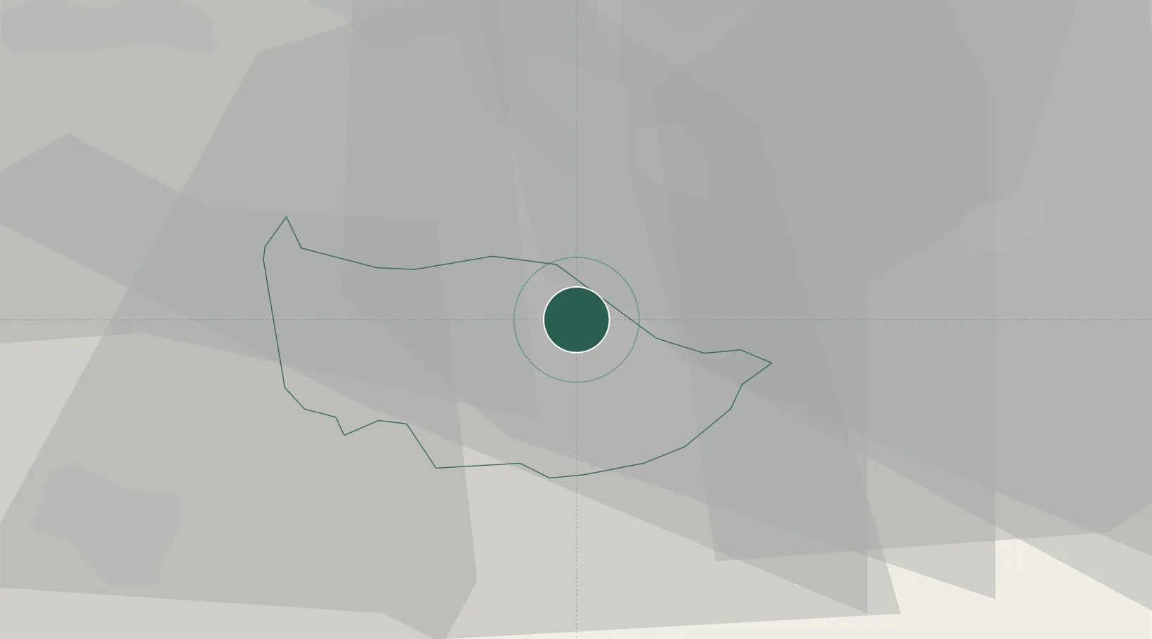
Place type
Populated place
Region
Zug
Population
3,878
Time zone
Europe/Zurich
Elevation
805 m
Location
Nearby Logistics Neighbours
Cities
- 1Edlibach0 km
- 2Sihlbrugg0 km
- 3Sihlbrugg Dorf2 km
- 4Schoenenberg4 km
- 5Unterägeri6 km
Ports
- 1Genova311 km
- 2Savona319 km
- 3Rada Di Vado325 km
- 4Chiavari - Lavagna325 km
- 5Porto Di Lido-Venezia355 km
Airports
- 1Emmen Air Base23 km
- 2Dübendorf Air Base24 km
- 3Zürich Airport31 km
- 4Alpnach Air Base35 km
- 5Sankt Gallen Altenrhein Airport81 km
Trade Zones
- 1ZFU Mulhouse113 km
- 2Livigno Free Trade Zone136 km
- 3ZFU Montbéliard140 km
- 4ZFU Belfort143 km
- 5Magazzini Generali Con Chiasso151 km
DatabookThe Record of Consolidated Knowledge
Switzerland beyond logistics?