UN/LOCODE hub · Switzerland
CHSEC

Saint-Légier-La Chiésaz

46.4667°, 6.8833°
3
Transport functions

Transport Functions

Rail
Road
Multimodal
UN/LOCODE

Hub Profile

Region
VD
GeoNames

Location

Location of CHSEC
Natural Earth 10m (public domain) · VD · CHSEC · 46.47, 6.88GoogleOSMYandex

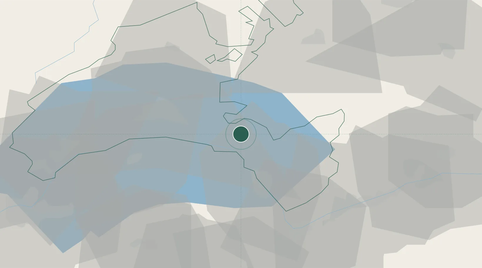
Nearby Logistics Neighbours

Cities
  1. 1Blonay1 km
  2. 2Villeneuve8 km
  3. 3Epesses12 km
  4. 4Le Crêt15 km
  5. 5Lugrin18 km
Nearest neighbours — logibook spatial index (haversine) over the source coordinates
Ports
  1. 1Savona270 km
  2. 2Rada Di Vado274 km
  3. 3Genova280 km
  4. 4Imperia301 km
  5. 5San Remo303 km
Nearest neighbours — logibook spatial index (haversine) over the source coordinates
Airports
  1. 1Payerne Air Base42 km
  2. 2Sion Airport44 km
  3. 3Annemasse Airfield56 km
  4. 4Geneva Cointrin International Airport65 km
  5. 5Bern Airport68 km
Nearest neighbours — logibook spatial index (haversine) over the source coordinates
Trade Zones
  1. 1Port Franc Vevey24 km
  2. 2PESA - Port-Franc et Entrepôts de Lausanne-Chavornay SA37 km
  3. 3Geneva Freeport, La Praille, Geneva66 km
  4. 4Geneva Cointrin International Airport Free Port68 km
  5. 5Port Franc de Geneve68 km
Nearest neighbours — logibook spatial index (haversine) over the source coordinates
DatabookThe Record of Consolidated Knowledge
Switzerland beyond logistics?
Browse databook

All Sources

LocationsUN/LOCODE
UN/LOCODE — free
Portsthe NGA World Port Index
Public domain (US gov)
AirportsOurAirports
Public domain
Trade Zonesthe World Bank SEZ database
CC BY 4.0
Trade ZonesOpen Zone Map
CC BY
← Switzerland locations