Transport Functions
Port
Rail
Road
Hub Profile
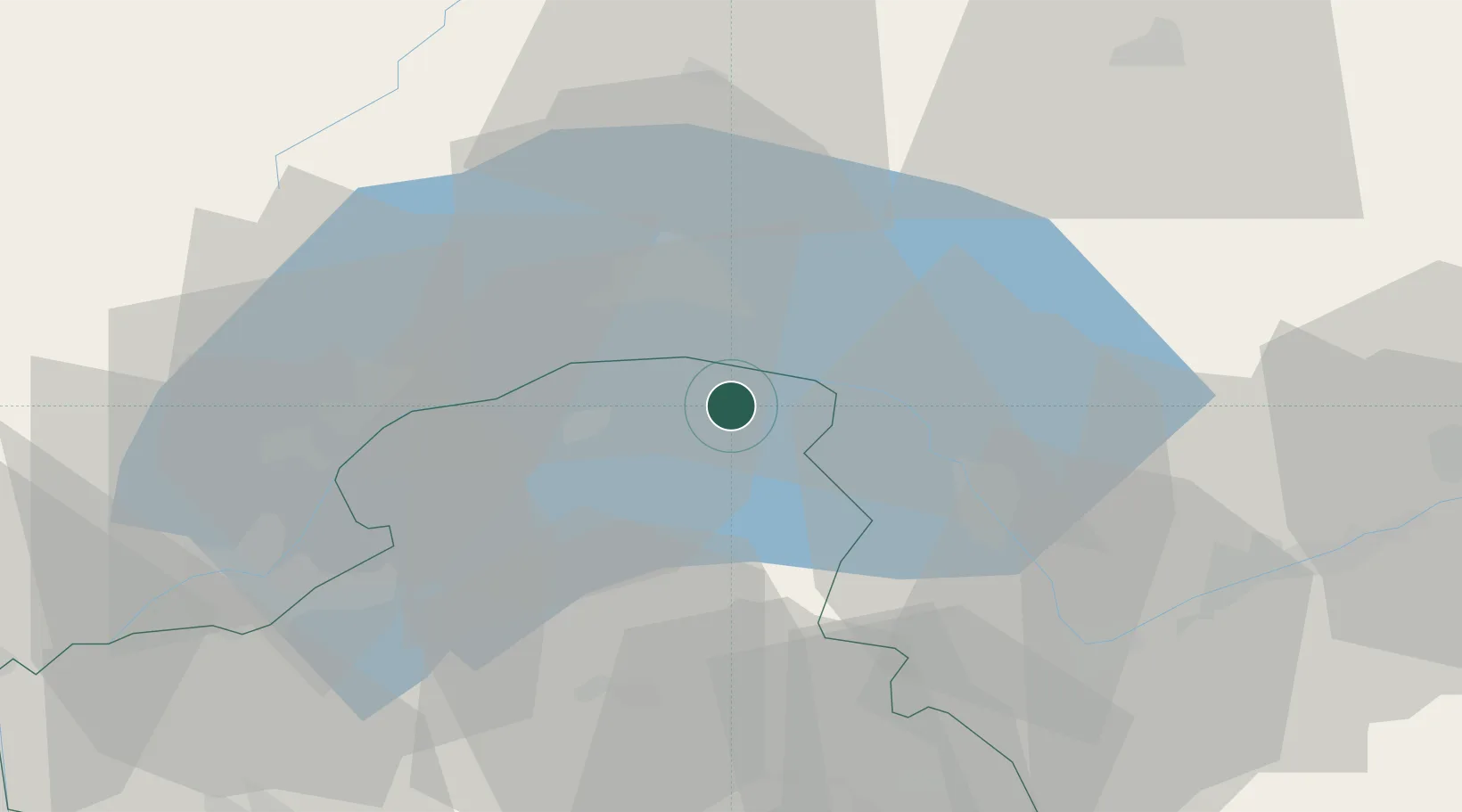
Place type
Populated place
Region
Rhône-Alpes
Population
2,164
Time zone
Europe/Paris
Elevation
423 m
Location
Nearby Logistics Neighbours
Cities
- 1Larringes10 km
- 2Marin10 km
- 3Epesses11 km
- 4Thonon-les-Bains15 km
- 5Saint-Sulpice15 km
Ports
- 1Savona272 km
- 2Rada Di Vado275 km
- 3Genova284 km
- 4Imperia300 km
- 5San Remo300 km
Airports
- 1Annemasse Airfield38 km
- 2Geneva Cointrin International Airport47 km
- 3Payerne Air Base53 km
- 4Sion Airport55 km
- 5Annecy Meythet airport68 km
DatabookThe Record of Consolidated Knowledge
France beyond logistics?