Transport Functions
Rail
Road
Hub Profile
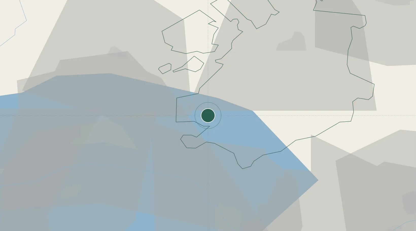
Place type
Populated place
Region
Neuchâtel
Time zone
Europe/Zurich
Elevation
1,060 m
Location
Nearby Logistics Neighbours
Ports
- 1Savona283 km
- 2Rada Di Vado287 km
- 3Genova291 km
- 4Imperia315 km
- 5San Remo317 km
Airports
- 1Payerne Air Base27 km
- 2Sion Airport54 km
- 3Les Eplatures Airport54 km
- 4Bern Airport57 km
- 5Annemasse Airfield66 km
DatabookThe Record of Consolidated Knowledge
Switzerland beyond logistics?