Transport Functions
Port
Rail
Road
Hub Profile
Place type
Populated place
Region
Vaud
Time zone
Europe/Zurich
Elevation
461 m
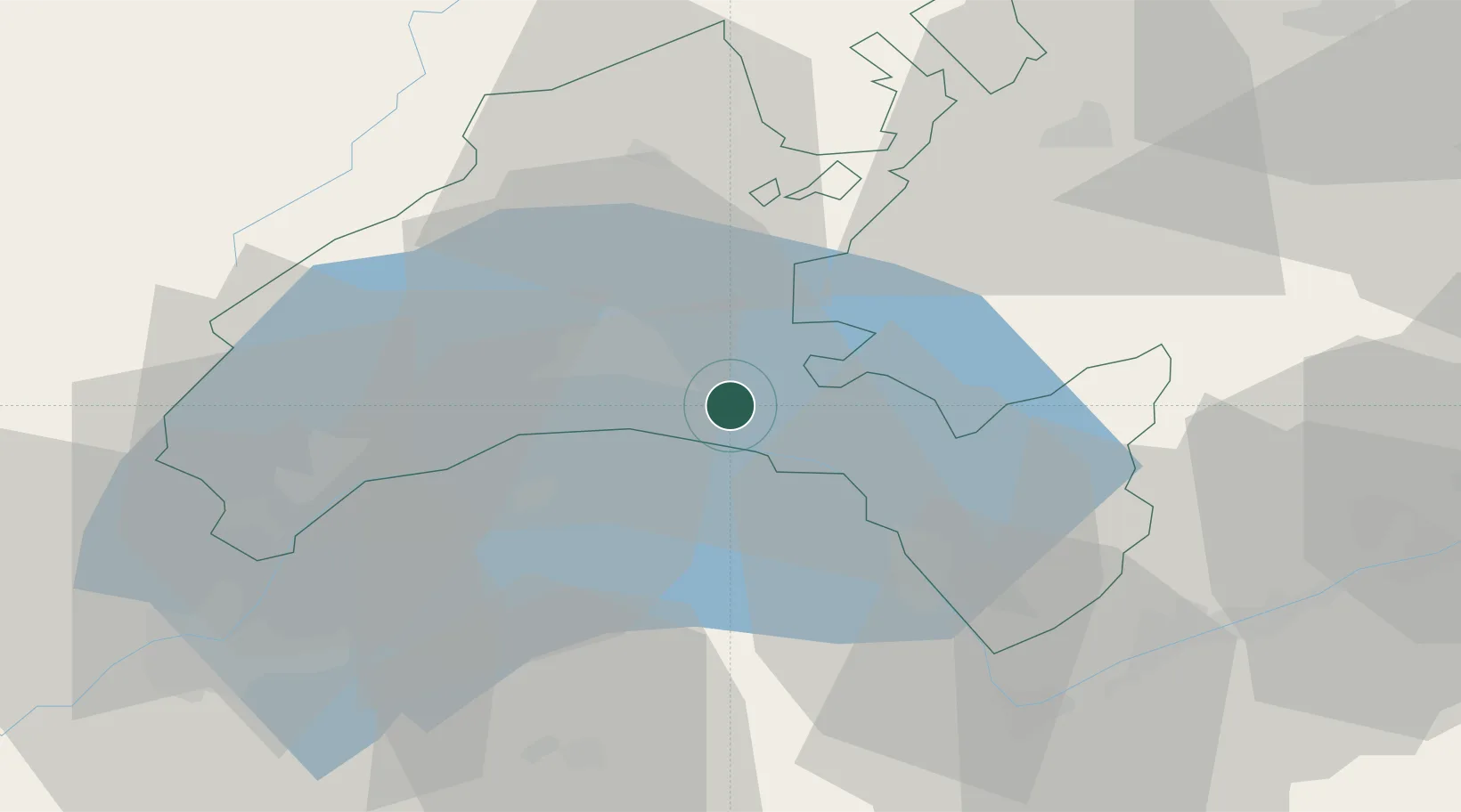
Location
Nearby Logistics Neighbours
Cities
- 1Epalinges9 km
- 2Lugrin11 km
- 3Le Mont-sur-Lausanne11 km
- 4Saint-Légier-La Chiésaz12 km
- 5Romanel-sur-Lausanne13 km
Ports
- 1Savona278 km
- 2Rada Di Vado281 km
- 3Genova288 km
- 4Imperia307 km
- 5San Remo308 km
Airports
- 1Payerne Air Base42 km
- 2Annemasse Airfield48 km
- 3Sion Airport54 km
- 4Geneva Cointrin International Airport55 km
- 5Les Eplatures Airport67 km
DatabookThe Record of Consolidated Knowledge
Switzerland beyond logistics?