Transport Functions
Port
Road
Hub Profile
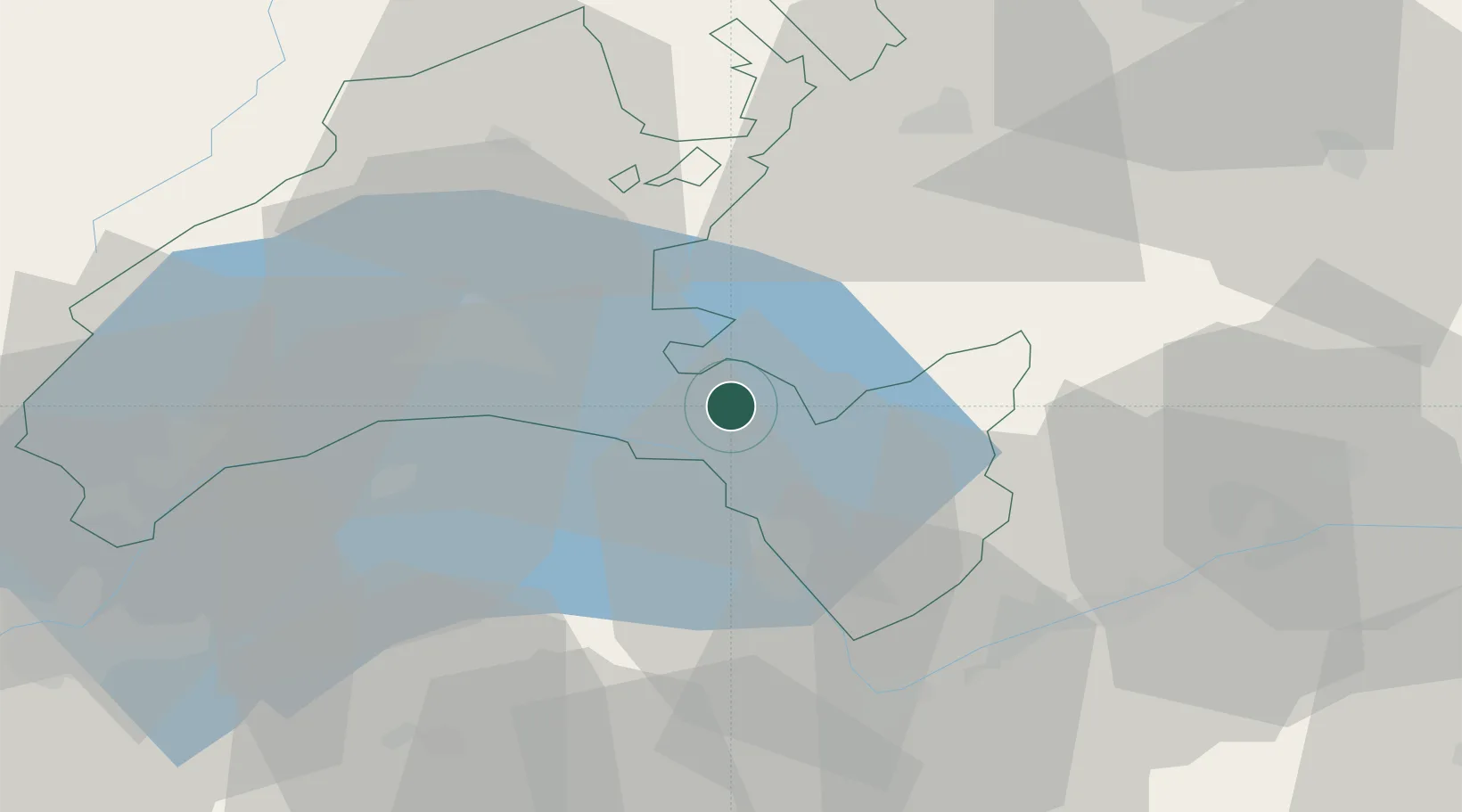
Place type
Populated place
Region
Vaud
Population
5,244
Time zone
Europe/Zurich
Elevation
629 m
Location
Nearby Logistics Neighbours
Cities
- 1Saint-Légier-La Chiésaz1 km
- 2Villeneuve8 km
- 3Epesses13 km
- 4Le Crêt15 km
- 5Vuadens19 km
Ports
- 1Savona270 km
- 2Rada Di Vado273 km
- 3Genova279 km
- 4Imperia301 km
- 5San Remo303 km
Airports
- 1Payerne Air Base42 km
- 2Sion Airport43 km
- 3Annemasse Airfield57 km
- 4Geneva Cointrin International Airport66 km
- 5Bern Airport67 km
DatabookThe Record of Consolidated Knowledge
Switzerland beyond logistics?