Transport Functions
Port
Road
Hub Profile
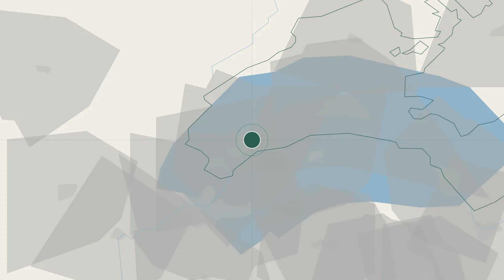
Place type
Populated place
Region
Vaud
Population
390
Time zone
Europe/Zurich
Elevation
428 m
Location
Nearby Logistics Neighbours
Cities
- 1Bursins2 km
- 2Rolle5 km
- 3Prangins5 km
- 4Bougy-Villars6 km
- 5Crassier12 km
Ports
- 1Savona292 km
- 2Rada Di Vado295 km
- 3Genova306 km
- 4Monaco313 km
- 5San Remo314 km
Airports
- 1Geneva Cointrin International Airport26 km
- 2Annemasse Airfield27 km
- 3Annecy Meythet airport58 km
- 4Payerne Air Base66 km
- 5Les Eplatures Airport82 km
DatabookThe Record of Consolidated Knowledge
Switzerland beyond logistics?