Transport Functions
Rail
Road
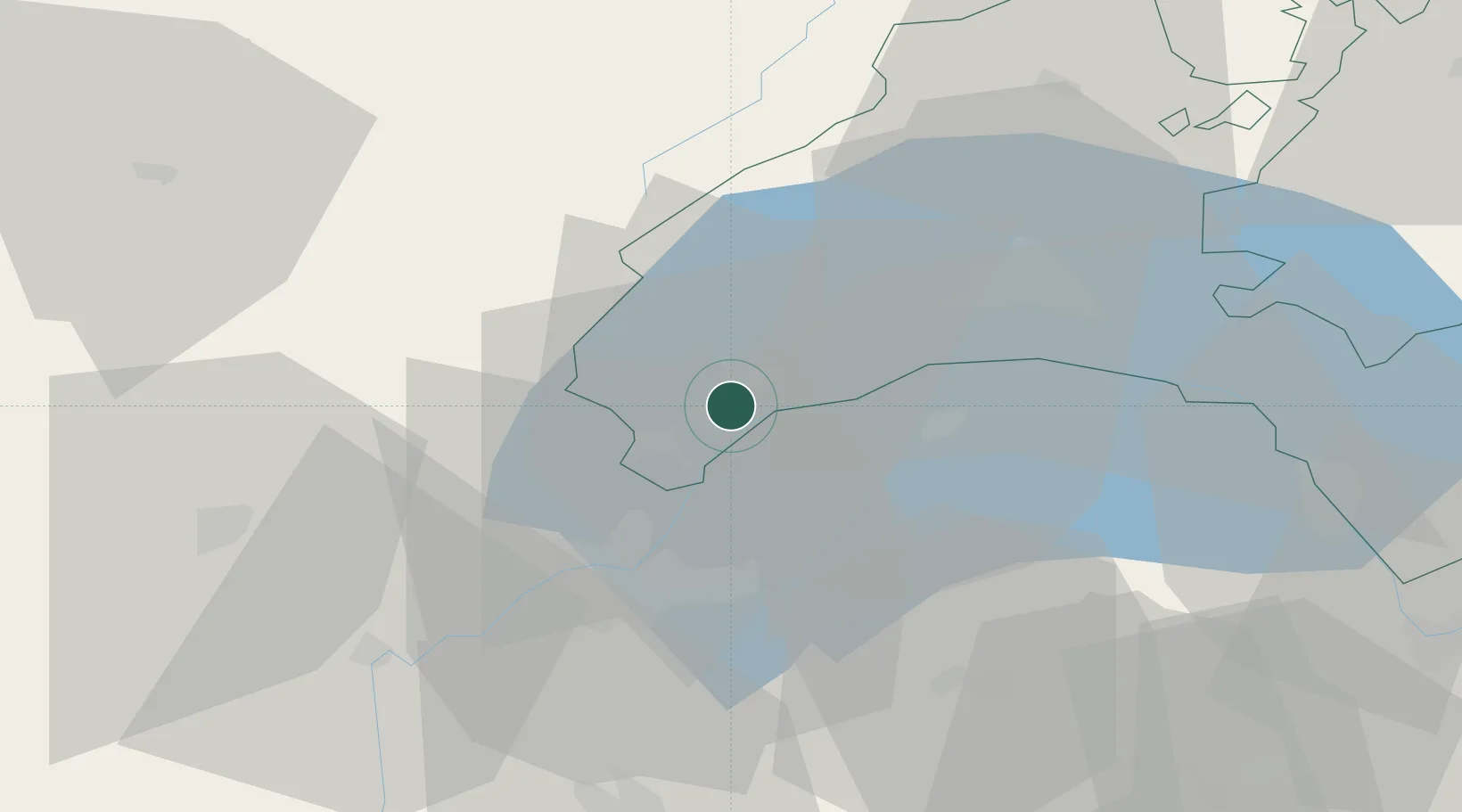
Hub Profile
Place type
Populated place
Region
Vaud
Population
3,172
Time zone
Europe/Zurich
Elevation
413 m
Location
Nearby Logistics Neighbours
Cities
- 1Bursinel5 km
- 2Bursins6 km
- 3Crassier7 km
- 4Rolle9 km
- 5Bogis-Bossey10 km
Ports
- 1Savona291 km
- 2Rada Di Vado293 km
- 3Genova305 km
- 4Monaco310 km
- 5Nice311 km
Airports
- 1Geneva Cointrin International Airport21 km
- 2Annemasse Airfield23 km
- 3Annecy Meythet airport54 km
- 4Payerne Air Base71 km
- 5Ambérieu Air Base (BA 278)85 km
DatabookThe Record of Consolidated Knowledge
Switzerland beyond logistics?