Transport Functions
Rail
Road
Multimodal
Hub Profile
Place type
Populated place
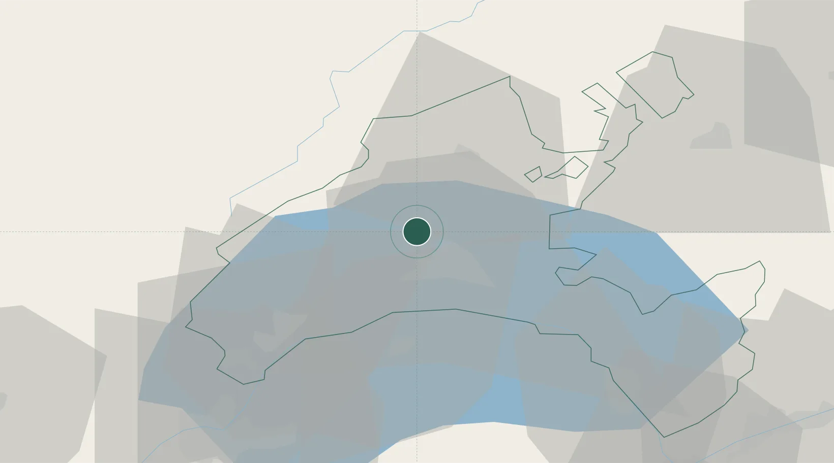
Region
Vaud
Population
2,241
Time zone
Europe/Zurich
Elevation
455 m
Location
Nearby Logistics Neighbours
Cities
- 1Penthaz2 km
- 2Eclépens4 km
- 3Oulens-sous-Echallens5 km
- 4Bioley-Orjulaz6 km
- 5Bussigny-près-Lausanne8 km
Ports
- 1Savona298 km
- 2Rada Di Vado301 km
- 3Genova309 km
- 4Imperia326 km
- 5San Remo326 km
Airports
- 1Payerne Air Base39 km
- 2Annemasse Airfield51 km
- 3Geneva Cointrin International Airport53 km
- 4Les Eplatures Airport56 km
- 5Sion Airport75 km
DatabookThe Record of Consolidated Knowledge
Switzerland beyond logistics?