UN/LOCODE hub · Switzerland
CHBUS

Bussigny-près-Lausanne

46.5500°, 6.5667°
2
Transport functions

Transport Functions

Rail
Road
UN/LOCODE

Hub Profile

Region
VD
GeoNames

Location

Location of CHBUS
Natural Earth 10m (public domain) · VD · CHBUS · 46.55, 6.57GoogleOSMYandex

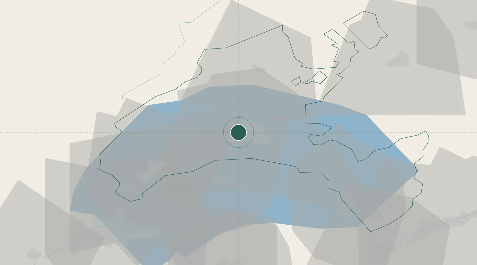
Nearby Logistics Neighbours

Cities
  1. 1Romanel-sur-Lausanne3 km
  2. 2Saint-Sulpice4 km
  3. 3Le Mont-sur-Lausanne5 km
  4. 4Penthaz6 km
  5. 5Bretigny-sur-Morrens8 km
Nearest neighbours — logibook spatial index (haversine) over the source coordinates
Ports
  1. 1Savona291 km
  2. 2Rada Di Vado294 km
  3. 3Genova302 km
  4. 4Imperia318 km
  5. 5San Remo319 km
Nearest neighbours — logibook spatial index (haversine) over the source coordinates
Airports
  1. 1Payerne Air Base42 km
  2. 2Annemasse Airfield46 km
  3. 3Geneva Cointrin International Airport49 km
  4. 4Les Eplatures Airport62 km
  5. 5Sion Airport69 km
Nearest neighbours — logibook spatial index (haversine) over the source coordinates
Trade Zones
  1. 1Port Franc Vevey9 km
  2. 2PESA - Port-Franc et Entrepôts de Lausanne-Chavornay SA18 km
  3. 3Geneva Freeport, La Praille, Geneva53 km
  4. 4Geneva Cointrin International Airport Free Port53 km
  5. 5Port Franc de Geneve54 km
Nearest neighbours — logibook spatial index (haversine) over the source coordinates
DatabookThe Record of Consolidated Knowledge
Switzerland beyond logistics?
Browse databook

All Sources

LocationsUN/LOCODE
UN/LOCODE — free
Portsthe NGA World Port Index
Public domain (US gov)
AirportsOurAirports
Public domain
Trade Zonesthe World Bank SEZ database
CC BY 4.0
Trade ZonesOpen Zone Map
CC BY
← Switzerland locations