Transport Functions
Road
Multimodal
Hub Profile
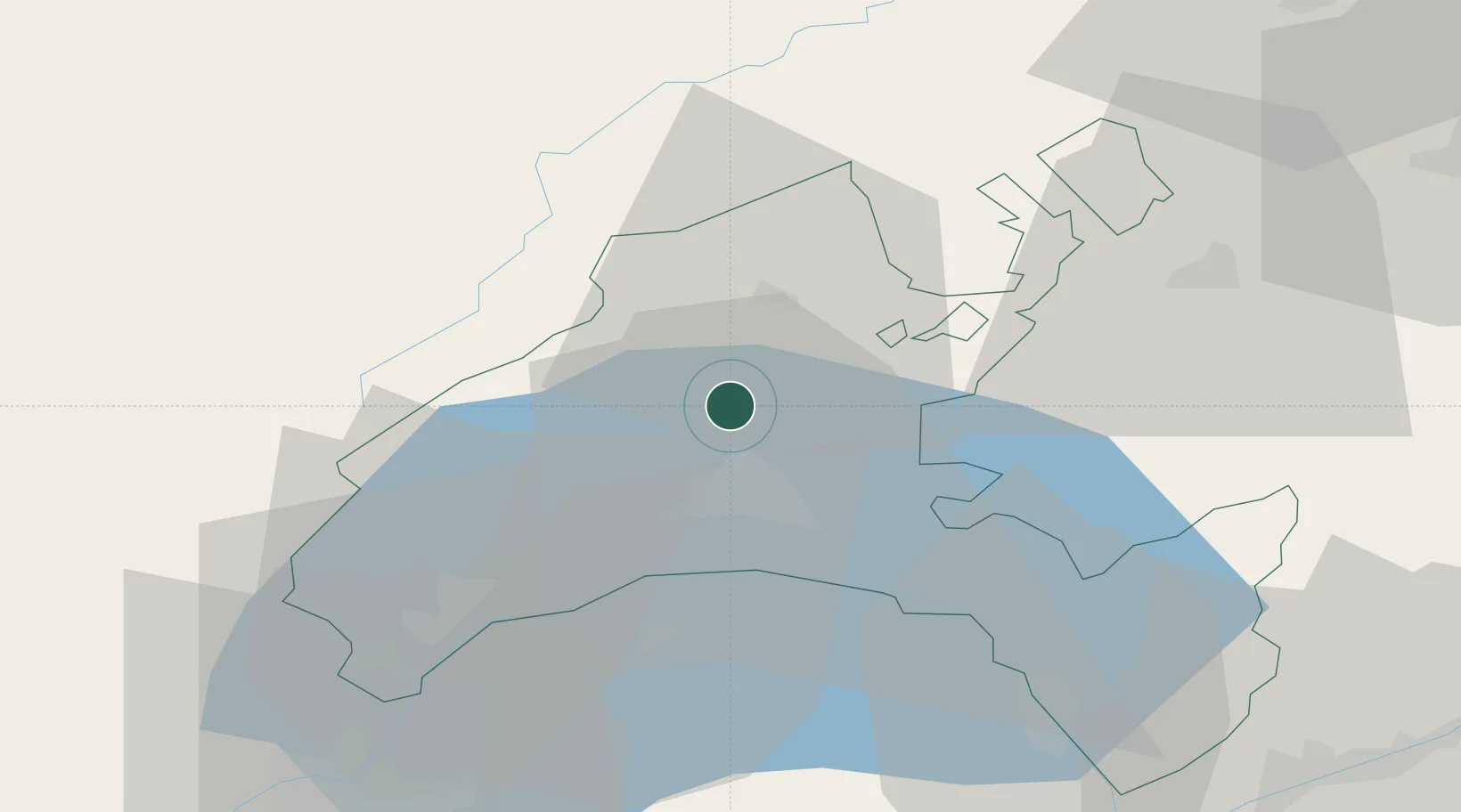
Place type
Populated place
Region
Vaud
Time zone
Europe/Zurich
Elevation
591 m
Location
Nearby Logistics Neighbours
Cities
- 1Bioley-Orjulaz5 km
- 2Eclépens5 km
- 3Penthalaz5 km
- 4Penthaz6 km
- 5Bretigny-sur-Morrens7 km
Ports
- 1Savona299 km
- 2Rada Di Vado303 km
- 3Genova310 km
- 4Imperia328 km
- 5San Remo329 km
Airports
- 1Payerne Air Base33 km
- 2Les Eplatures Airport51 km
- 3Annemasse Airfield56 km
- 4Geneva Cointrin International Airport59 km
- 5Sion Airport74 km
DatabookThe Record of Consolidated Knowledge
Switzerland beyond logistics?