Transport Functions
Rail
Road
Hub Profile
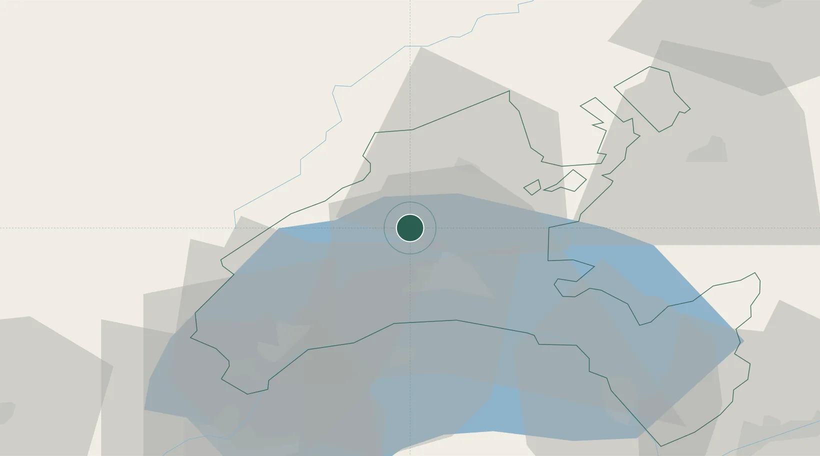
Place type
Populated place
Region
Vaud
Time zone
Europe/Zurich
Elevation
447 m
Location
Nearby Logistics Neighbours
Cities
- 1Penthalaz4 km
- 2Oulens-sous-Echallens5 km
- 3Penthaz6 km
- 4Bioley-Orjulaz9 km
- 5Bretigny-sur-Morrens11 km
Ports
- 1Savona302 km
- 2Rada Di Vado305 km
- 3Genova313 km
- 4Imperia330 km
- 5San Remo330 km
Airports
- 1Payerne Air Base37 km
- 2Les Eplatures Airport53 km
- 3Annemasse Airfield54 km
- 4Geneva Cointrin International Airport55 km
- 5Sion Airport78 km
DatabookThe Record of Consolidated Knowledge
Switzerland beyond logistics?