Transport Functions
Multimodal
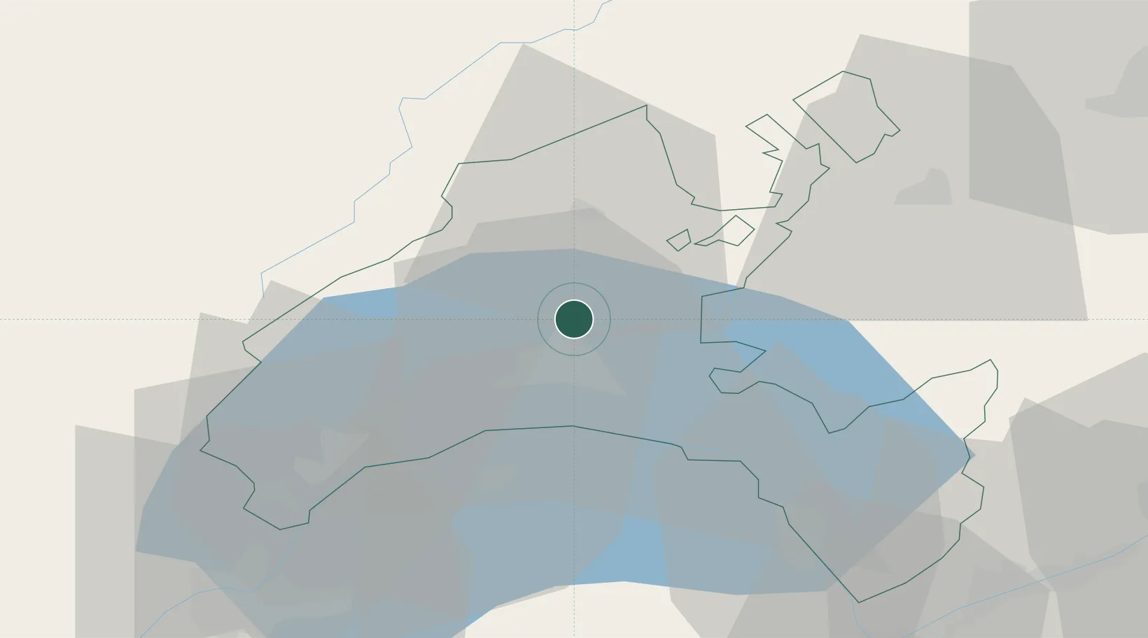
Hub Profile
Place type
Populated place
Region
Vaud
Time zone
Europe/Zurich
Elevation
602 m
Location
Nearby Logistics Neighbours
Cities
- 1Bretigny-sur-Morrens2 km
- 2Oulens-sous-Echallens5 km
- 3Penthaz5 km
- 4Penthalaz6 km
- 5Le Mont-sur-Lausanne8 km
Ports
- 1Savona295 km
- 2Rada Di Vado298 km
- 3Genova305 km
- 4Imperia324 km
- 5San Remo325 km
Airports
- 1Payerne Air Base34 km
- 2Les Eplatures Airport54 km
- 3Annemasse Airfield54 km
- 4Geneva Cointrin International Airport57 km
- 5Sion Airport70 km
DatabookThe Record of Consolidated Knowledge
Switzerland beyond logistics?