Transport Functions
Port
Multimodal
Hub Profile
Place type
Populated place
Region
Vaud
Time zone
Europe/Zurich
Elevation
714 m
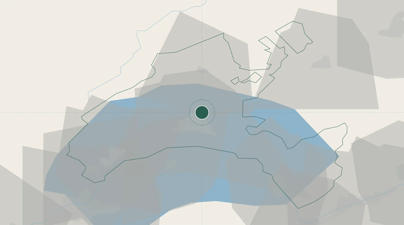
Location
Nearby Logistics Neighbours
Cities
- 1Bioley-Orjulaz2 km
- 2Le Mont-sur-Lausanne6 km
- 3Romanel-sur-Lausanne6 km
- 4Epalinges6 km
- 5Penthaz6 km
Ports
- 1Savona293 km
- 2Rada Di Vado296 km
- 3Genova303 km
- 4Imperia321 km
- 5San Remo322 km
Airports
- 1Payerne Air Base35 km
- 2Annemasse Airfield53 km
- 3Les Eplatures Airport55 km
- 4Geneva Cointrin International Airport57 km
- 5Sion Airport68 km
DatabookThe Record of Consolidated Knowledge
Switzerland beyond logistics?