Transport Functions
Multimodal
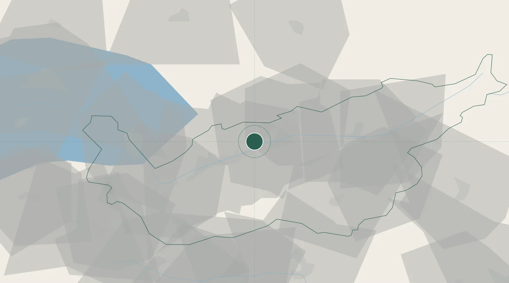
Location
Nearby Logistics Neighbours
Ports
- 1Savona235 km
- 2Rada Di Vado240 km
- 3Genova241 km
- 4Chiavari - Lavagna266 km
- 5Imperia273 km
Airports
- 1Sion Airport13 km
- 2Aosta Corrado Gex Airport63 km
- 3Bern Airport68 km
- 4Payerne Air Base73 km
- 5Annemasse Airfield92 km
Trade Zones
DatabookThe Record of Consolidated Knowledge
Switzerland beyond logistics?