Transport Functions
Rail
Road
Hub Profile
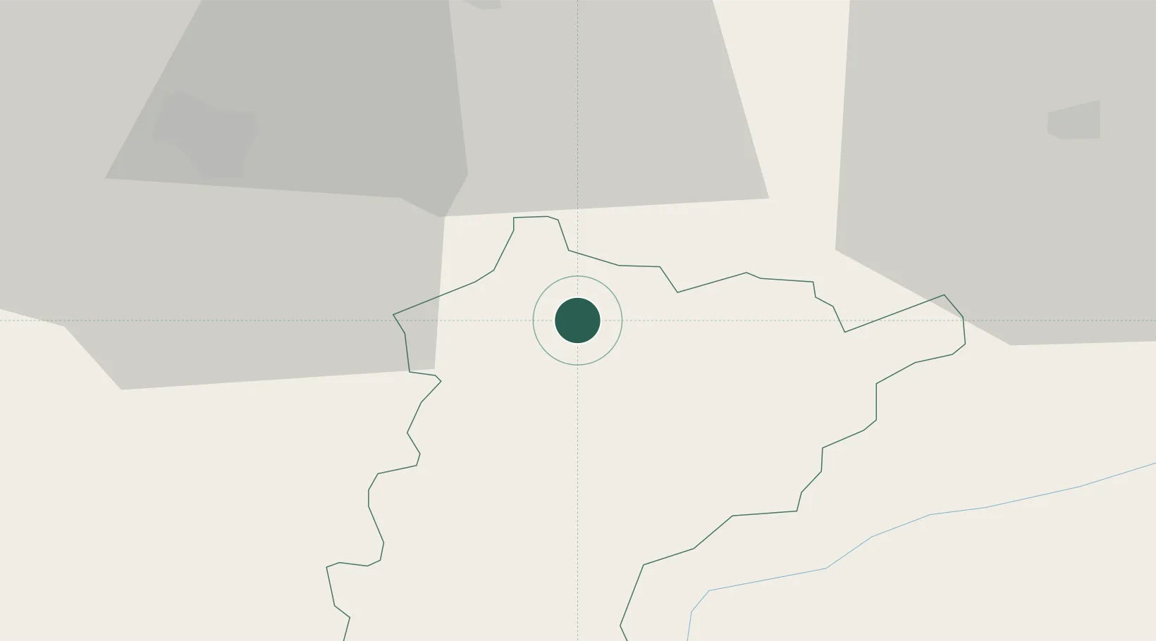
Region
UR
Location
Nearby Logistics Neighbours
Cities
- 1Schattdorf5 km
- 2Brunnen9 km
- 3Erstfeld10 km
- 4Ibach13 km
- 5Seewen15 km
Ports
- 1Genova279 km
- 2Savona287 km
- 3Rada Di Vado293 km
- 4Chiavari - Lavagna294 km
- 5La Spezia326 km
Airports
- 1Alpnach Air Base26 km
- 2Emmen Air Base32 km
- 3Dübendorf Air Base56 km
- 4Zürich Airport62 km
- 5Bern Airport85 km
Trade Zones
- 1Magazzini Generali Con Chiasso120 km
- 2Livigno Free Trade Zone120 km
- 3ZFU Mulhouse135 km
- 4ZFU Montbéliard154 km
- 5PESA - Port-Franc et Entrepôts de Lausanne-Chavornay SA158 km
DatabookThe Record of Consolidated Knowledge
Switzerland beyond logistics?