Transport Functions
Rail
Road
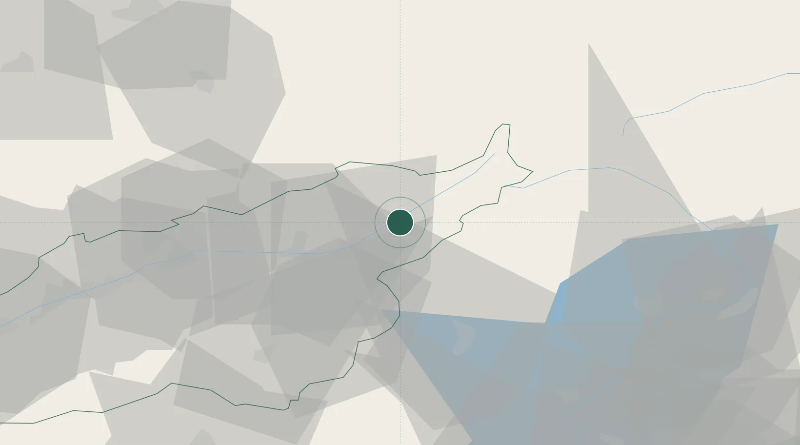
Hub Profile
Place type
Populated place
Region
Valais
Population
1,003
Time zone
Europe/Zurich
Elevation
1,052 m
Location
Nearby Logistics Neighbours
Ports
- 1Genova231 km
- 2Savona233 km
- 3Rada Di Vado239 km
- 4Chiavari - Lavagna251 km
- 5Imperia280 km
Airports
- 1Alpnach Air Base62 km
- 2Sion Airport65 km
- 3Lugano Airport74 km
- 4Bern Airport75 km
- 5Emmen Air Base78 km
Trade Zones
- 1Magazzini Generali Con Chiasso88 km
- 2Port Franc Vevey120 km
- 3PESA - Port-Franc et Entrepôts de Lausanne-Chavornay SA125 km
- 4Aosta Valley127 km
- 5Livigno Free Trade Zone151 km
DatabookThe Record of Consolidated Knowledge
Switzerland beyond logistics?