Transport Functions
Rail
Road
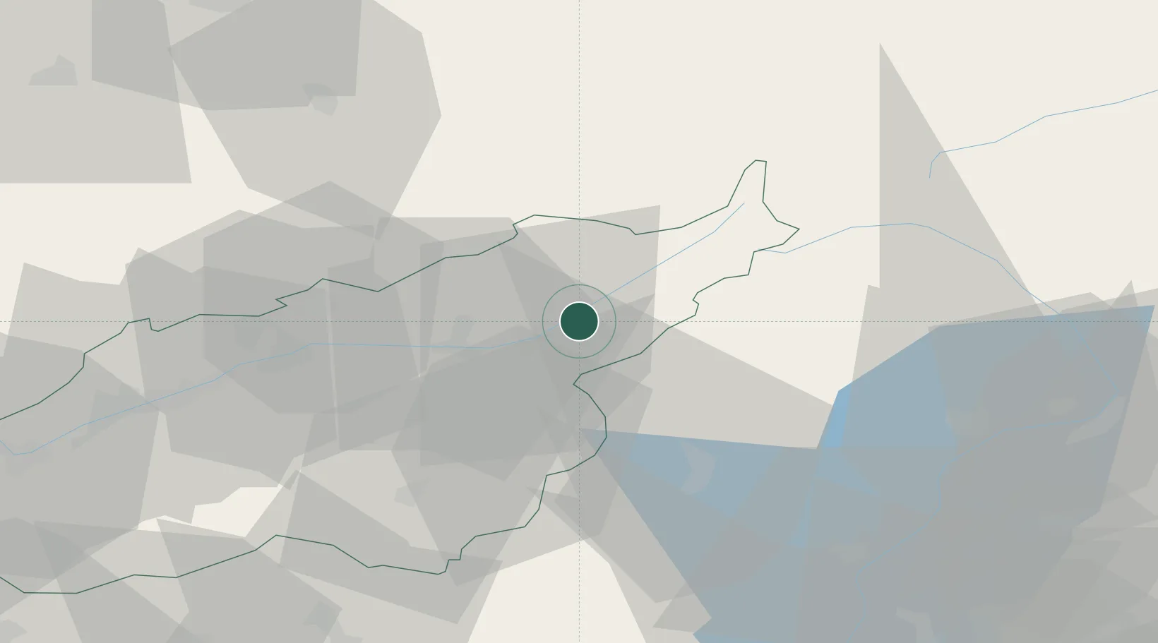
Hub Profile
Place type
Populated place
Region
Valais
Population
496
Time zone
Europe/Zurich
Elevation
953 m
Location
Nearby Logistics Neighbours
Ports
- 1Genova229 km
- 2Savona230 km
- 3Rada Di Vado236 km
- 4Chiavari - Lavagna249 km
- 5Imperia276 km
Airports
- 1Sion Airport60 km
- 2Alpnach Air Base66 km
- 3Bern Airport75 km
- 4Lugano Airport75 km
- 5Emmen Air Base83 km
Trade Zones
DatabookThe Record of Consolidated Knowledge
Switzerland beyond logistics?