Transport Functions
Rail
Road
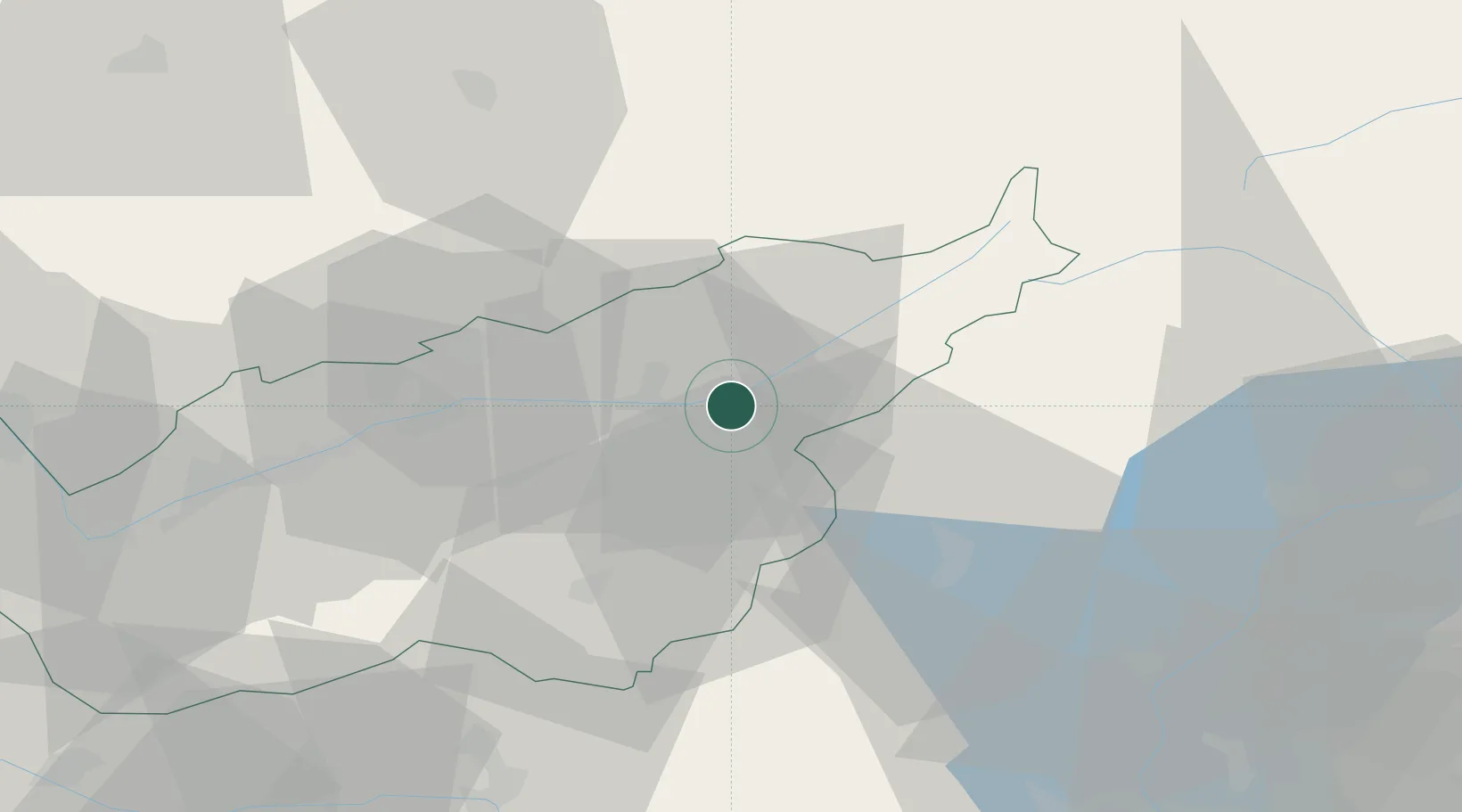
Hub Profile
Place type
Provincial seat
Region
Valais
Population
5,000
Time zone
Europe/Zurich
Elevation
680 m
Location
Nearby Logistics Neighbours
Ports
- 1Genova226 km
- 2Savona226 km
- 3Rada Di Vado231 km
- 4Chiavari - Lavagna247 km
- 5Imperia271 km
Airports
- 1Sion Airport52 km
- 2Alpnach Air Base73 km
- 3Bern Airport76 km
- 4Lugano Airport79 km
- 5Aosta Corrado Gex Airport80 km
Trade Zones
DatabookThe Record of Consolidated Knowledge
Switzerland beyond logistics?