Transport Functions
Multimodal
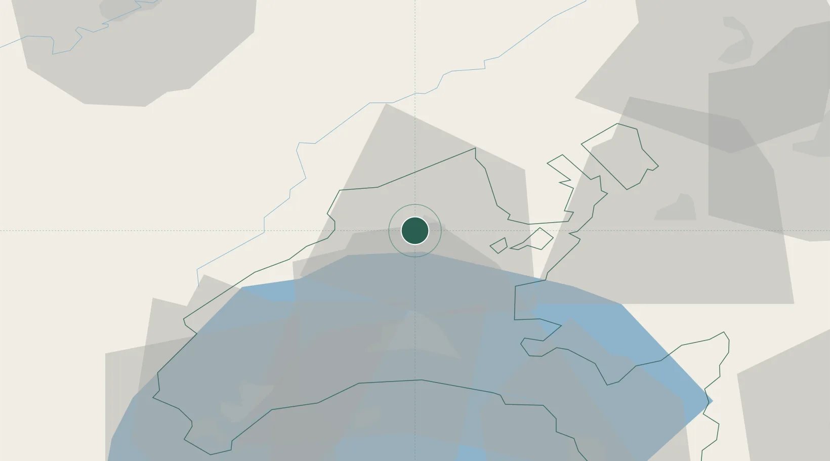
Hub Profile
Place type
Populated place
Region
Vaud
Time zone
Europe/Zurich
Elevation
514 m
Location
Nearby Logistics Neighbours
Cities
- 1Yverdon-les-Bains3 km
- 2Champagne8 km
- 3Sainte Croix9 km
- 4Yvonand12 km
- 5Oulens-sous-Echallens13 km
Ports
- 1Savona310 km
- 2Rada Di Vado313 km
- 3Genova319 km
- 4Imperia340 km
- 5San Remo341 km
Airports
- 1Payerne Air Base25 km
- 2Les Eplatures Airport38 km
- 3Annemasse Airfield69 km
- 4Geneva Cointrin International Airport70 km
- 5Bern Airport70 km
DatabookThe Record of Consolidated Knowledge
Switzerland beyond logistics?