Transport Functions
Port
Multimodal
Hub Profile
Place type
Populated place
Region
Ontario
Time zone
America/Toronto
Elevation
187 m
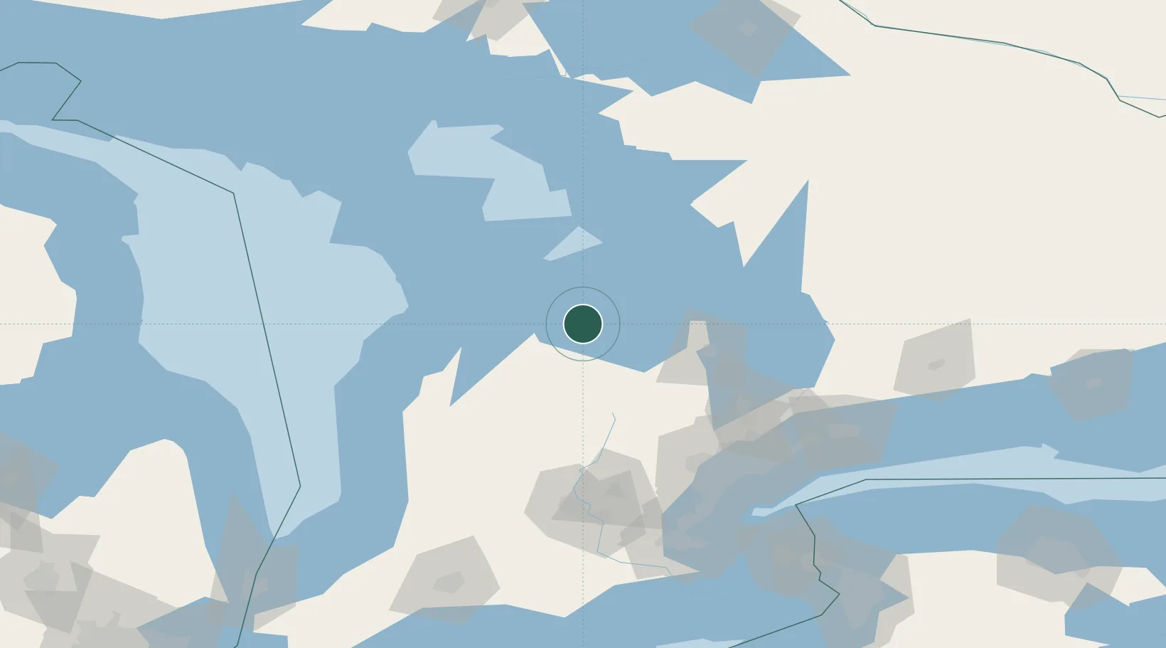
Location
Nearby Logistics Neighbours
Cities
- 1Meaford13 km
- 2Duntroon15 km
- 3Maxwell28 km
- 4Markdale30 km
- 5Holland Center32 km
Ports
- 1Meaford14 km
- 2Collingwood18 km
- 3Owen Sound39 km
- 4Penetanguishene47 km
- 5Midland48 km
Airports
Trade Zones
- 1FTZ No. 034 Niagara County173 km
- 2Niagara Foreign Trade Zone197 km
- 3FTZ No. 023 Buffalo225 km
- 4FTZ No. 141 Monroe County244 km
- 5FTZ No. 210 St. Clair County254 km
DatabookThe Record of Consolidated Knowledge
Canada beyond logistics?