Transport Functions
Port
Rail
Road
Airport
Hub Profile
Place type
Populated place
Region
Ontario
Population
4,910
Time zone
America/Toronto
Elevation
202 m
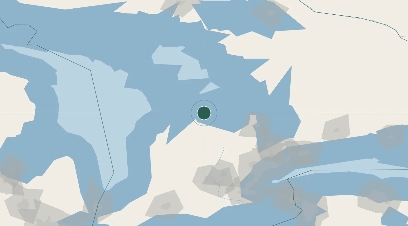
Location
Nearby Logistics Neighbours
Cities
- 1Thornbury13 km
- 2Duntroon24 km
- 3Holland Center28 km
- 4Markdale32 km
- 5Maxwell38 km
Ports
- 1Thornbury12 km
- 2Owen Sound27 km
- 3Collingwood31 km
- 4Wiarton45 km
- 5Penetanguishene56 km
Airports
Trade Zones
- 1FTZ No. 034 Niagara County185 km
- 2Niagara Foreign Trade Zone209 km
- 3FTZ No. 023 Buffalo237 km
- 4FTZ No. 210 St. Clair County250 km
- 5FTZ No. 141 Monroe County257 km
DatabookThe Record of Consolidated Knowledge
Canada beyond logistics?