Transport Functions
Rail
Road
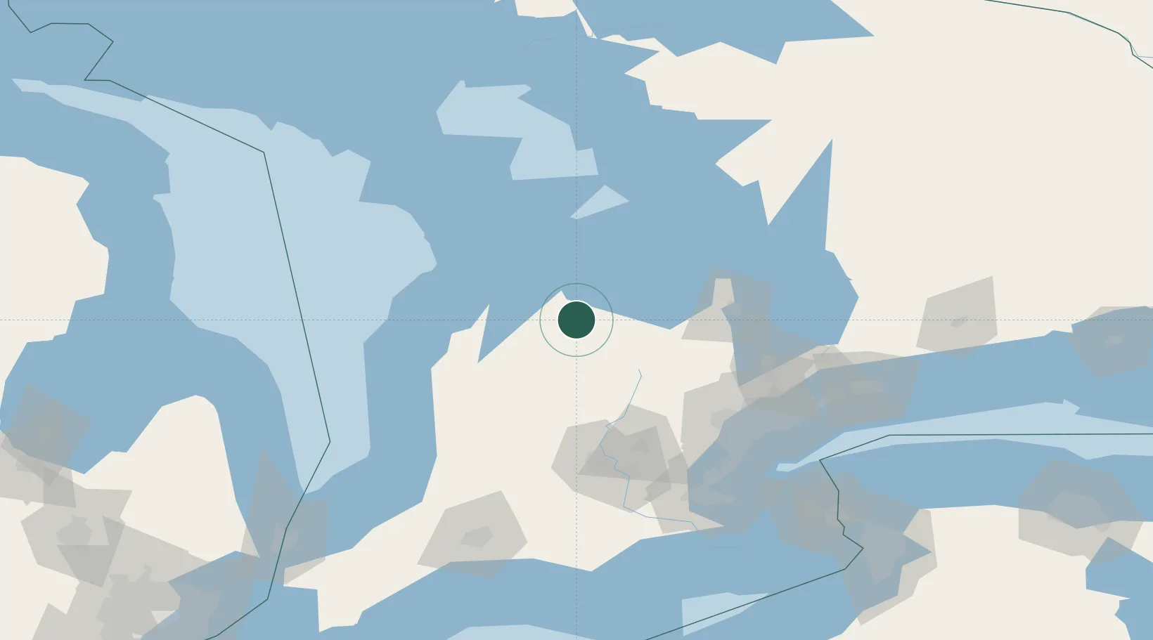
Hub Profile
Place type
Populated place
Region
Ontario
Population
1,216
Time zone
America/Toronto
Elevation
424 m
Location
Nearby Logistics Neighbours
Cities
- 1Holland Center13 km
- 2Maxwell21 km
- 3Thornbury30 km
- 4Meaford32 km
- 5Hanover36 km
Ports
- 1Thornbury32 km
- 2Meaford34 km
- 3Owen Sound37 km
- 4Collingwood39 km
- 5Port Elgin61 km
Airports
Trade Zones
- 1FTZ No. 034 Niagara County165 km
- 2Niagara Foreign Trade Zone187 km
- 3FTZ No. 023 Buffalo215 km
- 4FTZ No. 210 St. Clair County224 km
- 5FTZ No. 141 Monroe County244 km
DatabookThe Record of Consolidated Knowledge
Canada beyond logistics?