Transport Functions
Rail
Road
Multimodal
Hub Profile
Place type
Populated place
Region
Ontario
Time zone
America/Toronto
Elevation
176 m
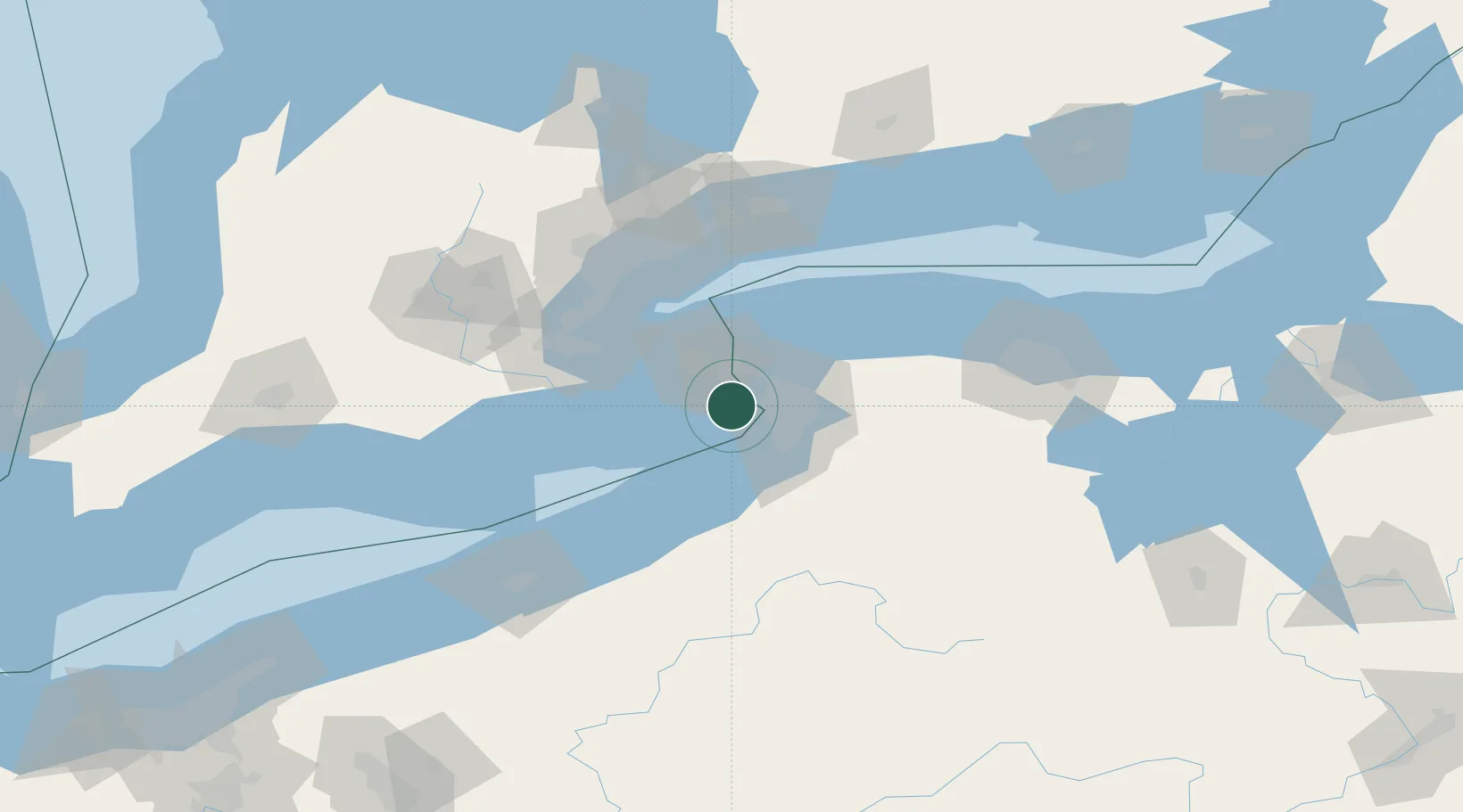
Location
Nearby Logistics Neighbours
Cities
- 1Kenmore16 km
- 2Kenilworth19 km
- 3Buffalo22 km
- 4Sanborn25 km
- 5Getzville26 km
Ports
- 1Welland16 km
- 2Port Colborne17 km
- 3Buffalo17 km
- 4Tonawanda18 km
- 5Queenston24 km
Airports
Trade Zones
- 1Niagara Foreign Trade Zone16 km
- 2FTZ No. 023 Buffalo18 km
- 3FTZ No. 034 Niagara County42 km
- 4FTZ No. 141 Monroe County97 km
- 5FTZ No. 289 Ontario County123 km
DatabookThe Record of Consolidated Knowledge
Canada beyond logistics?