UN/LOCODE hub · Argentina
ARPCO

Punta Colorada

-41.7000°, -65.0000°
2
Transport functions

Transport Functions

Port
Road
UN/LOCODE

Hub Profile

Place type
Populated place
GeoNames
Region
Rio Negro
GeoNames
Time zone
America/Argentina/Salta
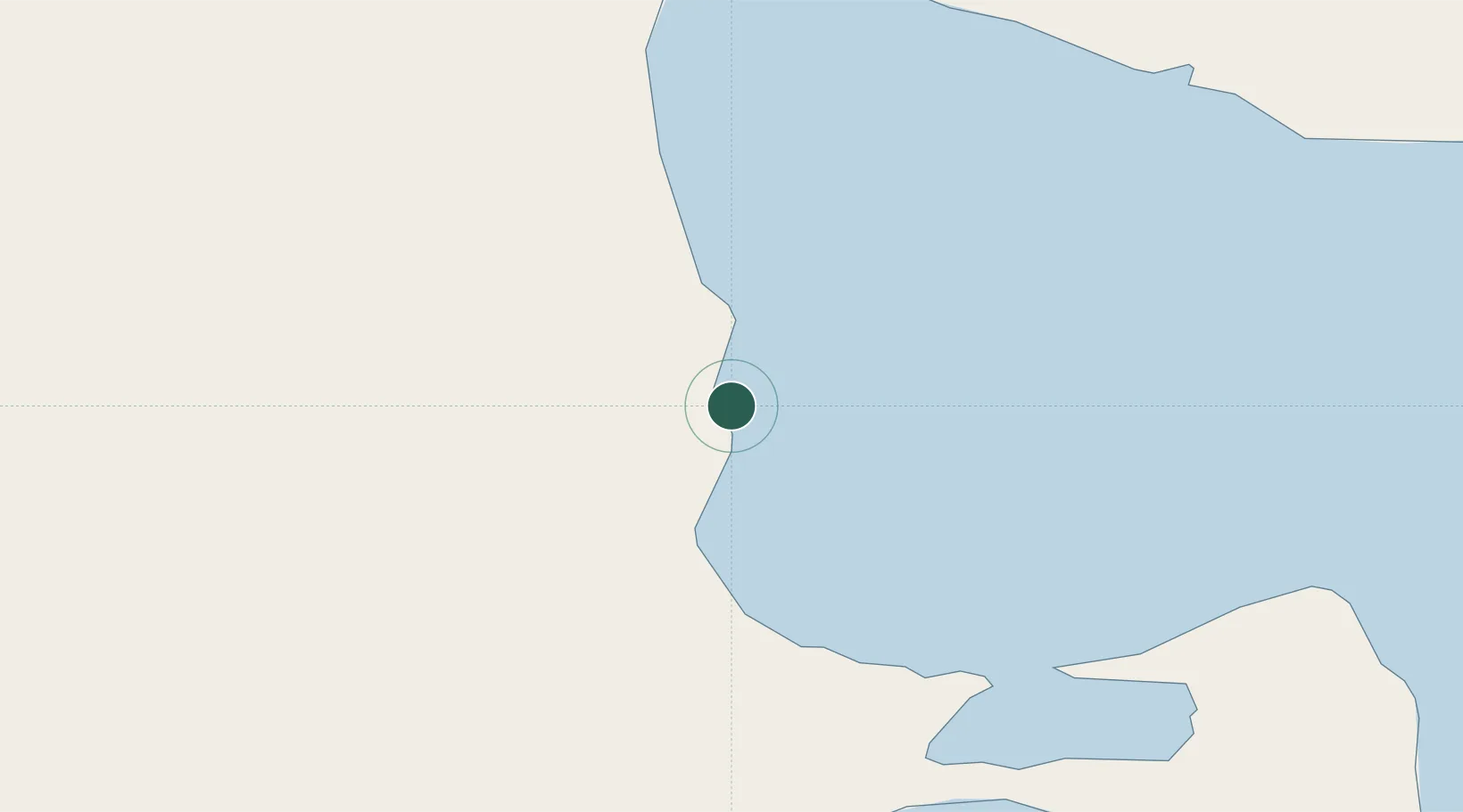
GeoNames

Location

Location of ARPCO
Natural Earth 10m (public domain) · Rio Negro · ARPCO · -41.70, -65.00GoogleOSMYandex

Nearby Logistics Neighbours

Cities
  1. 1San Antonio Este101 km
  2. 2Puerto Madryn177 km
  3. 3Rawson178 km
  4. 4Chimpay298 km
  5. 5Villa Regina339 km
Nearest neighbours — logibook spatial index (haversine) over the source coordinates
Ports
  1. 1Puerto Madryn119 km
  2. 2San Blas264 km
  3. 3Puerto Rosales396 km
  4. 4Puerto Nacional396 km
  5. 5Puerto Galvan397 km
Nearest neighbours — logibook spatial index (haversine) over the source coordinates
Airports
  1. 1Antoine de Saint Exupéry Airport106 km
  2. 2El Tehuelche Airport118 km
  3. 3Almirante Marco Andres Zar Airport169 km
  4. 4Gobernador Castello Airport191 km
  5. 5Gan Gan Field286 km
Nearest neighbours — logibook spatial index (haversine) over the source coordinates
Trade Zones
  1. 1Zona Franca Bahía Blanca405 km
  2. 2Comodoro Free Trade Zone Zona Franca Chubut505 km
  3. 3Comodoro Free Trade Zone511 km
  4. 4Zona Franca Zapala (Zapala Free Trade Zone)536 km
  5. 5La Zona Franca Santa Cruz (ZFSC) - Caleta Olivia567 km
Nearest neighbours — logibook spatial index (haversine) over the source coordinates
DatabookThe Record of Consolidated Knowledge
Argentina beyond logistics?
Browse databook

All Sources

LocationsUN/LOCODE
UN/LOCODE — free
Portsthe NGA World Port Index
Public domain (US gov)
AirportsOurAirports
Public domain
Trade Zonesthe World Bank SEZ database
CC BY 4.0
Trade ZonesOpen Zone Map
CC BY
← Argentina locations