Transport Functions
Port
Rail
Road
Hub Profile
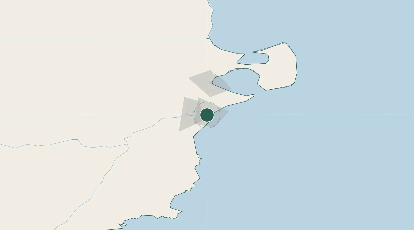
Place type
Regional capital
Region
Chubut
Population
26,335
Time zone
America/Argentina/Catamarca
Elevation
3 m
Location
Nearby Logistics Neighbours
Cities
- 1Punta Colorada178 km
- 2San Antonio Este279 km
- 3Caleta Córdoba312 km
- 4Puerto Madryn343 km
- 5Pampa del Castillo365 km
Ports
- 1Puerto Madryn60 km
- 2Comodoro Rivadavia341 km
- 3San Blas385 km
- 4Puerto Deseado499 km
- 5Puerto Rosales548 km
Airports
- 1Almirante Marco Andres Zar Airport17 km
- 2El Tehuelche Airport60 km
- 3Gan Gan Field274 km
- 4Antoine de Saint Exupéry Airport284 km
- 5Gobernador Castello Airport321 km
Trade Zones
DatabookThe Record of Consolidated Knowledge
Argentina beyond logistics?