UN/LOCODE hub · Argentina
ARCPC

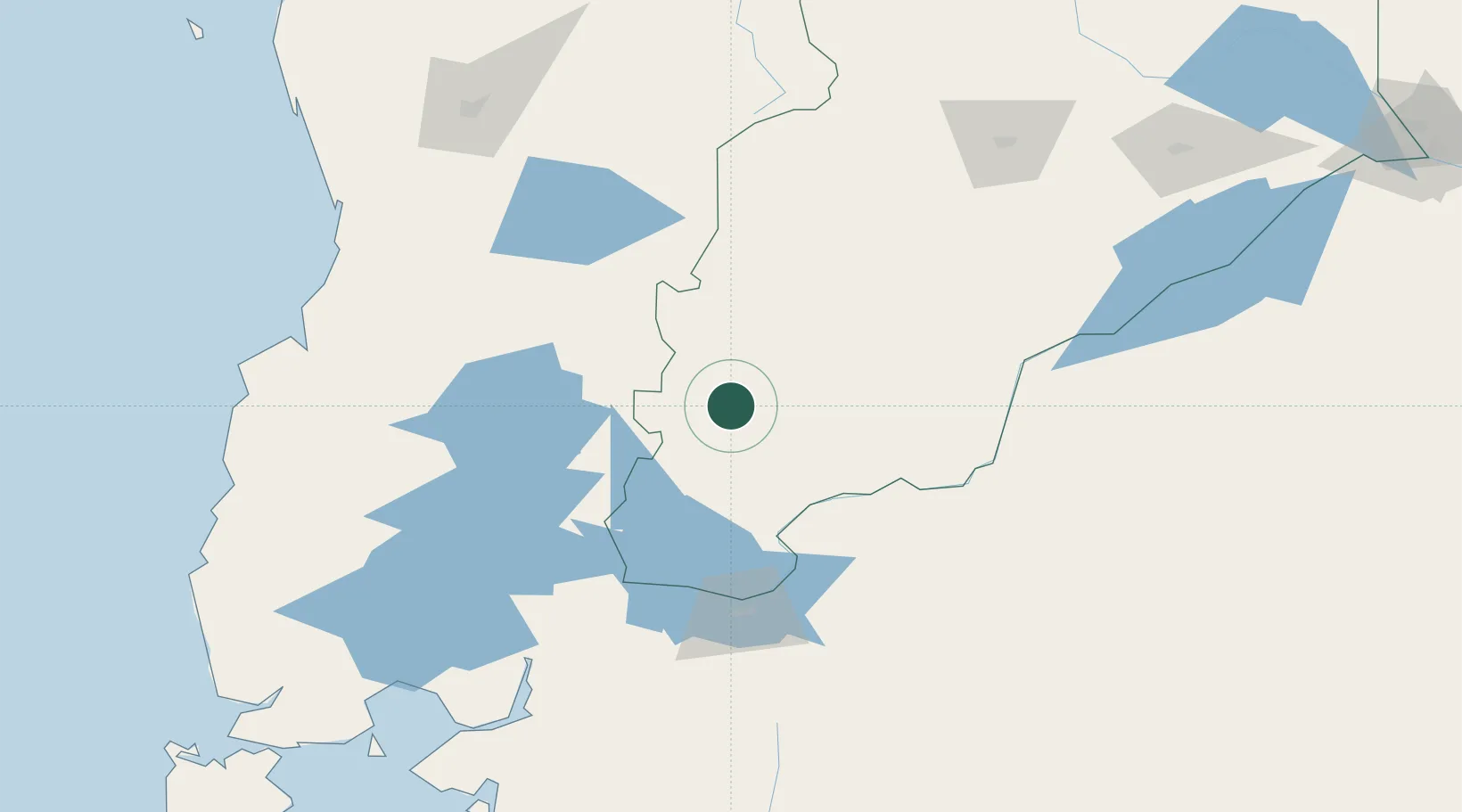
San Martín de los Andes

-40.1667°, -71.3500°
23,519
Population
2
Transport functions

Transport Functions

Rail
Airport
UN/LOCODE

Hub Profile

Place type
Populated place
GeoNames
Region
Neuquen
GeoNames
Population
23,519
GeoNames
Time zone
America/Argentina/Salta
GeoNames
Elevation
651 m
GeoNames

Location

Location of ARCPC
Natural Earth 10m (public domain) · Neuquen · ARCPC · -40.17, -71.35GoogleOSMYandex

Nearby Logistics Neighbours

Cities
  1. 1Mariquina84 km
  2. 2Lago Ranco99 km
  3. 3Puyehue121 km
  4. 4Villarrica125 km
  5. 5Paillaco131 km
Nearest neighbours — logibook spatial index (haversine) over the source coordinates
Ports
  1. 1Bahia De Valdivia167 km
  2. 2Puerto De Corral181 km
  3. 3Puerto Montt200 km
  4. 4Puerto Quemchi284 km
  5. 5Puerto Castro327 km
Nearest neighbours — logibook spatial index (haversine) over the source coordinates
Airports
  1. 1Aviador C. Campos Airport21 km
  2. 2Pucón Airport109 km
  3. 3Teniente Luis Candelaria International Airport111 km
  4. 4Cañal Bajo Carlos Hott Siebert Airport153 km
  5. 5Pichoy Airport159 km
Nearest neighbours — logibook spatial index (haversine) over the source coordinates
Trade Zones
  1. 1Zona Franca Zapala (Zapala Free Trade Zone)179 km
  2. 2Comodoro Free Trade Zone Zona Franca Chubut707 km
  3. 3Comodoro Free Trade Zone707 km
  4. 4La Zona Franca Santa Cruz (ZFSC) - Caleta Olivia767 km
  5. 5Zona Franca Bahía Blanca796 km
Nearest neighbours — logibook spatial index (haversine) over the source coordinates
DatabookThe Record of Consolidated Knowledge
Argentina beyond logistics?
Browse databook

All Sources

LocationsUN/LOCODE
UN/LOCODE — free
LocationsGeoNames
CC BY 4.0
Portsthe NGA World Port Index
Public domain (US gov)
AirportsOurAirports
Public domain
Trade Zonesthe World Bank SEZ database
CC BY 4.0
Trade ZonesOpen Zone Map
CC BY
← Argentina locations