Transport Functions
Port
Hub Profile
Region
KHM
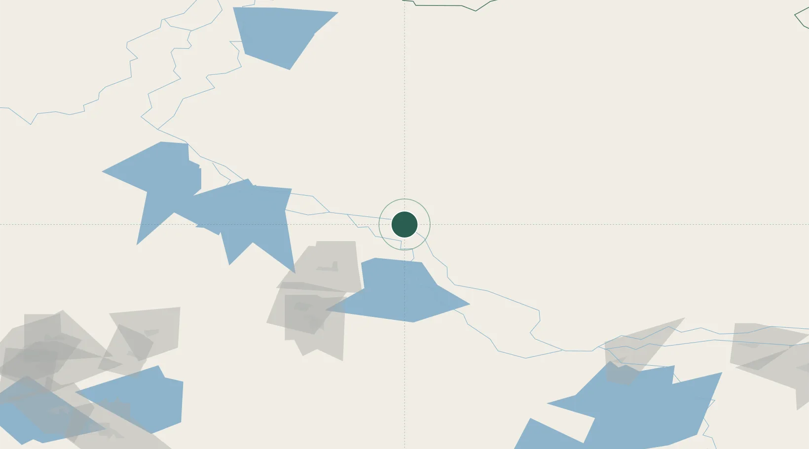
Location
Nearby Logistics Neighbours
Cities
- 1Bolshoy Kamen57 km
- 2Oktyabrskoye66 km
- 3Chemashi139 km
- 4Peregrebnoye140 km
- 5Polnovat189 km
Ports
- 1Igarka1082 km
- 2Dudinka1171 km
- 3Mezen1184 km
- 4Arkhangels'k1344 km
- 5Port Dikson1370 km
Airports
- 1Nyagan Airport82 km
- 2Khanty Mansiysk Airport163 km
- 3Beloyarskiy Airport169 km
- 4Sovetskiy Airport211 km
- 5Berezovo Airport222 km
DatabookThe Record of Consolidated Knowledge
Russia beyond logistics?