Transport Functions
Port
Hub Profile
Region
KYA
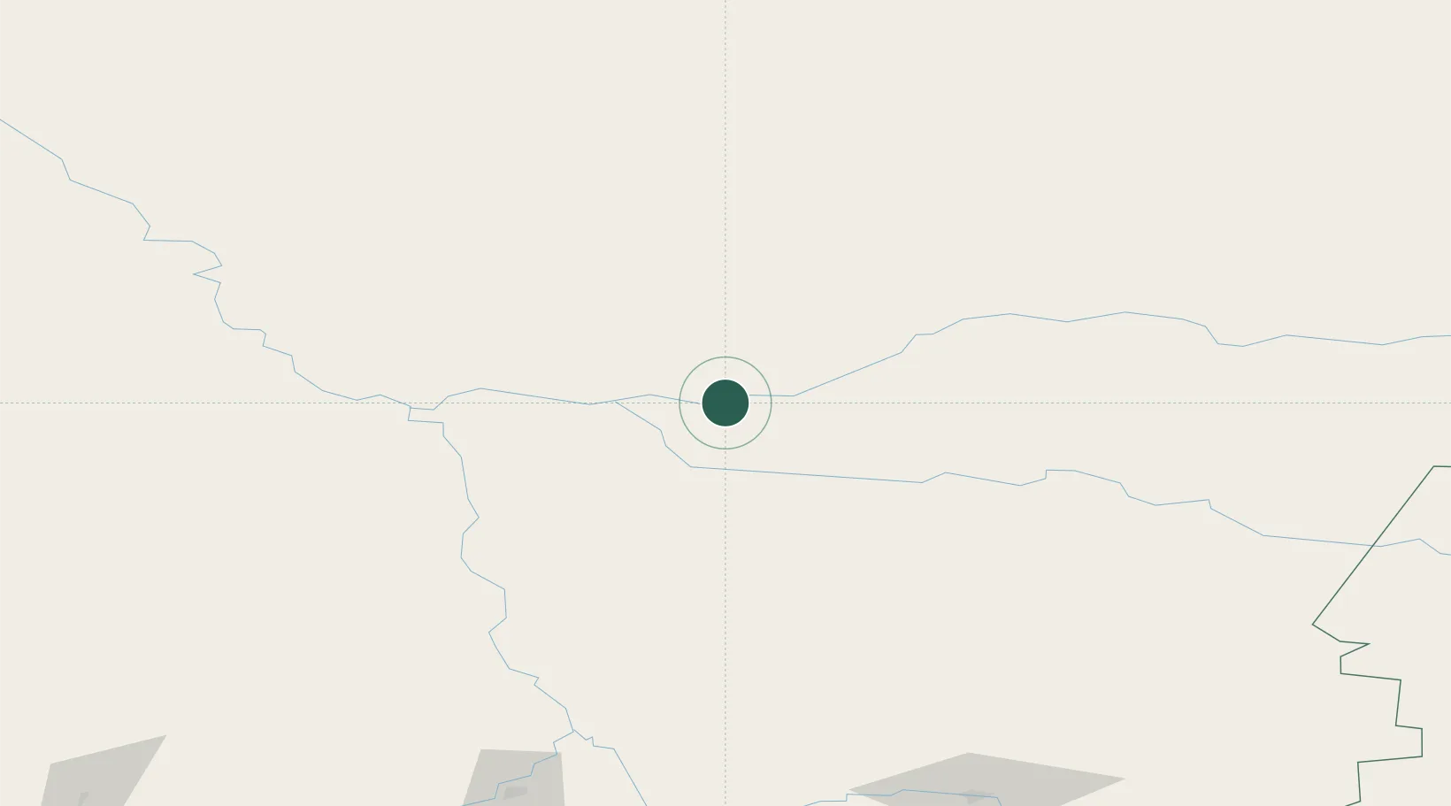
Location
Nearby Logistics Neighbours
Cities
- 1Kulakovo44 km
- 2Streika87 km
- 3Krasnoyarsk251 km
- 4Krasnojarsk251 km
- 5Bazaikha261 km
Ports
- 1Igarka1112 km
- 2Dudinka1317 km
- 3Port Dikson1815 km
- 4Huludao Gang2690 km
- 5Jinzhou Wan2691 km
Airports
- 1Motygino Airport15 km
- 2Yeniseysk Airport146 km
- 3Kansk Air Base232 km
- 4Krasnoyarsk Cheremshanka Airport246 km
- 5Krasnoyarsk International Airport248 km
Trade Zones
DatabookThe Record of Consolidated Knowledge
Russia beyond logistics?