Medium airport · Russia

Magadan-13 AirportUHMT

59.6233°, 150.9220°
164 ft
Elevation

Runway & Layout

Magadan-13 Airport runway & taxiway layout
Runway & taxiway layout — OpenStreetMap (ODbL) / OurAirports

Airport Specifications
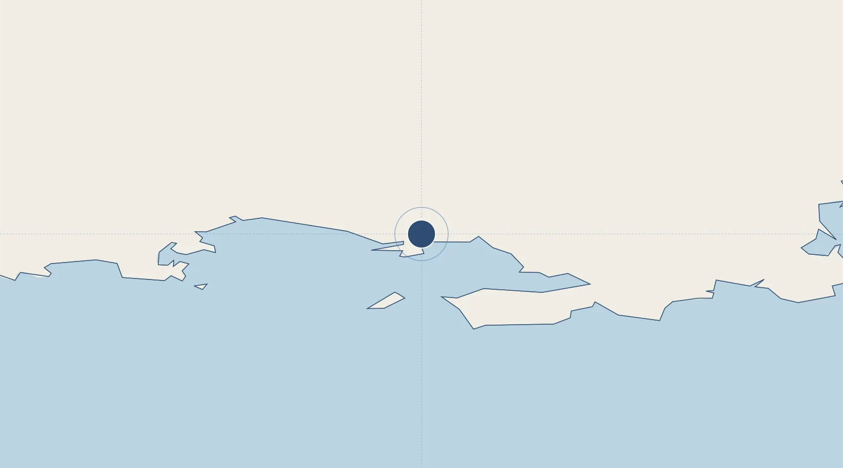
ICAO code
UHMT
OurAirports
Airport class
Medium airport
OurAirports
Scheduled service
No
OurAirports
Served city
Magadan
OurAirports

Location

Location of UHMT
Natural Earth 10m (public domain) · Maga Buryatdan · UHMT · 59.62, 150.92GoogleOSMYandex

Nearby Logistics Neighbours

Airports
  1. 1Sokol Airport34 km
  2. 2Seymchan Airport375 km
  3. 3Susuman Airport380 km
  4. 4Omsukchan Airport408 km
  5. 5Okhotsk Airport444 km
Nearest neighbours — logibook spatial index (haversine) over the source coordinates
Cities
  1. 1Magadansky, Port13 km
  2. 2Okha, Sakhalin829 km
  3. 3Bukhta Ol'ga834 km
  4. 4Petropavlovsk-Kamchatskiy873 km
  5. 5Widuchowa889 km
Nearest neighbours — logibook spatial index (haversine) over the source coordinates
Ports
  1. 1Bukhta Nagayeva (Magadan)13 km
  2. 2Okhotsk Iy Reyd437 km
  3. 3Okha830 km
  4. 4Moskal Vo845 km
  5. 5Petropavlovsk871 km
Nearest neighbours — logibook spatial index (haversine) over the source coordinates
Trade Zones
  1. 1Sovetskaya Gavan Free Zone1367 km
  2. 2Fuyuan Sino-Russian Border Open Demonstration Zone1647 km
  3. 3Jiayin Industrial Demonstration Base1775 km
  4. 4Tongjiang Economic Development Zone1790 km
  5. 5Forest General Industrial Special Zone1793 km
Nearest neighbours — logibook spatial index (haversine) over the source coordinates
DatabookThe Record of Consolidated Knowledge
Russia beyond logistics?
Browse databook

All Sources

AirportsOurAirports
Public domain
Portsthe NGA World Port Index
Public domain (US gov)
LocationsUN/LOCODE
UN/LOCODE — free
Trade Zonesthe World Bank SEZ database
CC BY 4.0
Trade ZonesOpen Zone Map
CC BY
InfrastructureOpenStreetMap
ODbL 1.0
← Russia airports