UN/LOCODE hub · Austria
ATWIS

Wolfsberg im Schwarzautal
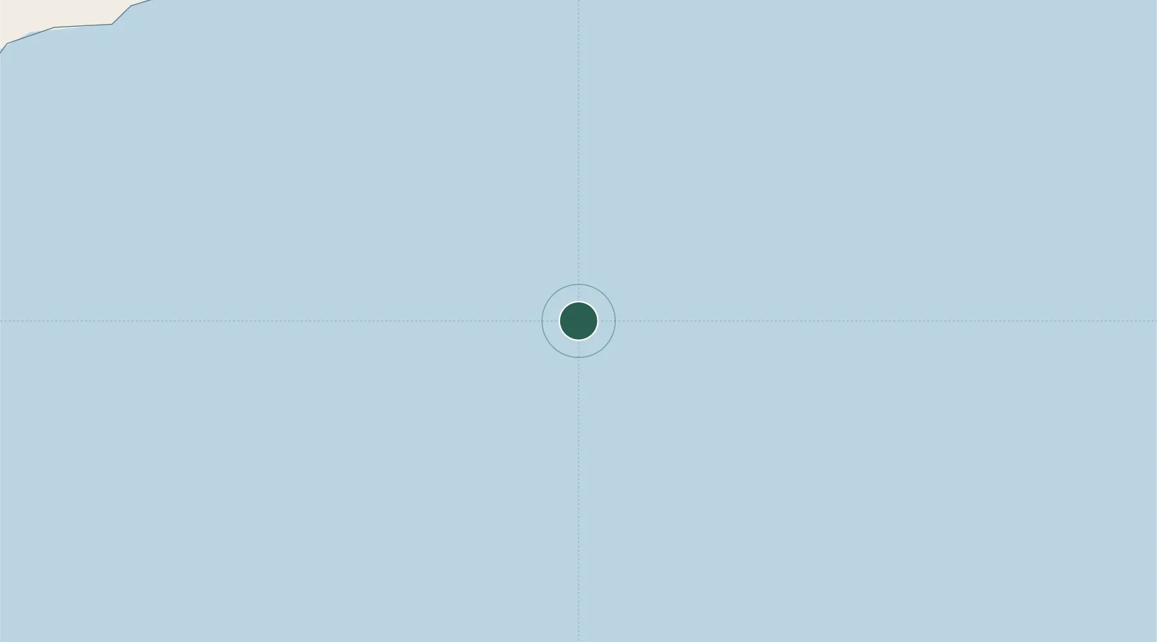
49.4167°, 156.9833°
551
Population
1
Transport functions

Transport Functions

Multimodal
UN/LOCODE

Hub Profile

Place type
District seat
GeoNames
Region
Styria
GeoNames
Population
551
GeoNames
Time zone
Europe/Vienna
GeoNames
Elevation
289 m
GeoNames

Location

Location of ATWIS
Natural Earth 10m (public domain) · Styria · ATWIS · 49.42, 156.98GoogleOSMYandex

Nearby Logistics Neighbours

Cities
  1. 1Dobrenice291 km
  2. 2Lisice321 km
  3. 3Ust-Kamchatsk416 km
  4. 4Petropavlovsk-Kamchatskiy418 km
  5. 5Dolni Kounice459 km
Nearest neighbours — logibook spatial index (haversine) over the source coordinates
Ports
  1. 1Petropavlovsk420 km
  2. 2Poronaysk1003 km
  3. 3Aleksandrovsk -Sakhalinskiy1069 km
  4. 4Okha1069 km
  5. 5Mys Rogatyy Oktyabrskiy1070 km
Nearest neighbours — logibook spatial index (haversine) over the source coordinates
Airports
  1. 1Avachinskiy Heliport428 km
  2. 2Yelizovo Airport430 km
  3. 3Sharomy Air Base548 km
  4. 4Iturup Airport822 km
  5. 5Ust'-Kamchatsk Airport849 km
Nearest neighbours — logibook spatial index (haversine) over the source coordinates
Trade Zones
  1. 1Sovetskaya Gavan Free Zone1213 km
  2. 2Forest General Industrial Special Zone1231 km
  3. 3Hokkaido Food Complex International Strategic Comprehensive Special Zone1390 km
  4. 4Sapporo Contents Special Zone1392 km
  5. 5Semboku City Strategic Special Zone1675 km
Nearest neighbours — logibook spatial index (haversine) over the source coordinates
DatabookThe Record of Consolidated Knowledge
Austria beyond logistics?
Browse databook

All Sources

LocationsUN/LOCODE
UN/LOCODE — free
LocationsGeoNames
CC BY 4.0
Portsthe NGA World Port Index
Public domain (US gov)
AirportsOurAirports
Public domain
Trade Zonesthe World Bank SEZ database
CC BY 4.0
Trade ZonesOpen Zone Map
CC BY
← Austria locations