Runway & Layout

Airport Specifications
IATA code
JEJ
Airport class
Small airport
Scheduled service
Yes
Served city
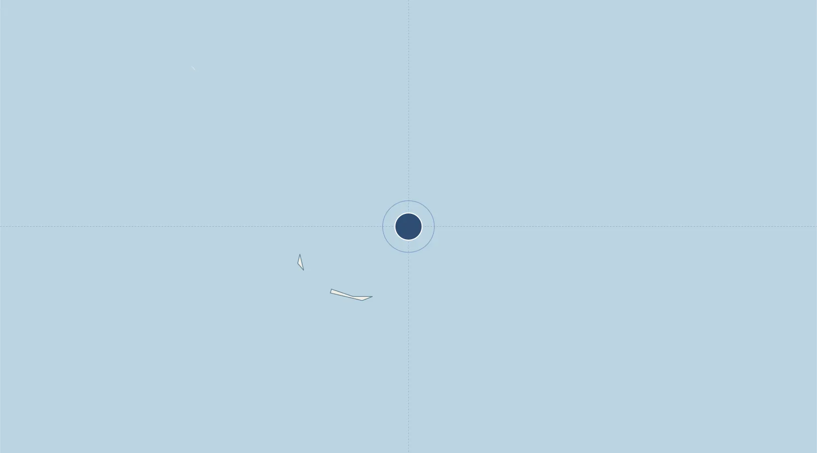
Ailinglapalap Atoll
Location
Nearby Logistics Neighbours
Airports
- 1Majkin Airport109 km
- 2Bucholz Army Air Field187 km
- 3Jaluit Airport199 km
- 4Kili Airport214 km
- 5Aur Island Airport252 km
Cities
- 1Majuro272 km
- 2Nauru Island931 km
- 3Ngatik1306 km
- 4Lukunor Atoll1694 km
- 5Choiseul Bay2109 km
Ports
- 1Kwajalein186 km
- 2Majuro Atoll272 km
- 3Tarawa Atoll821 km
- 4Enitwetak Island839 km
- 5Nauru929 km
Trade Zones
DatabookThe Record of Consolidated Knowledge
Marshall Islands beyond logistics?