Diversified Zone · China

Yongding Industrial Park Active
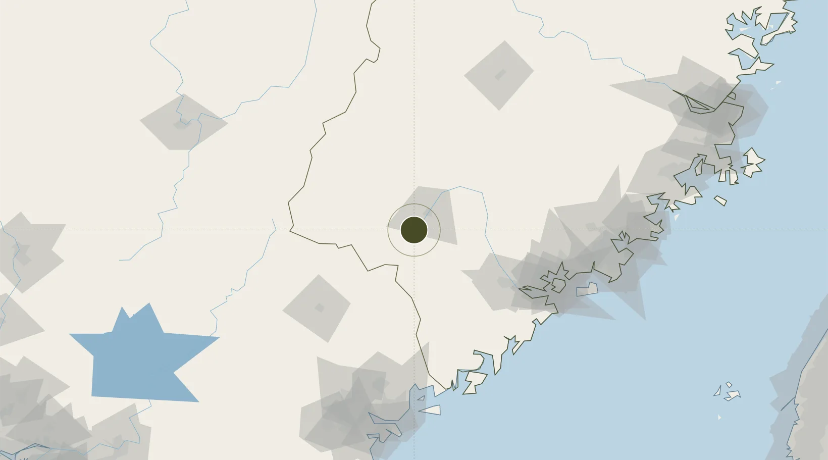
24.9623°, 116.9074°
1,200 ha
Zone area
129.2 km
Nearest port
81.0 km
Nearest airport

Gateway access

Nearest neighbours — logibook spatial index (haversine) over the source coordinates

Zone profile

Zone type
Diversified Zone
Open Zone Map
Region
Fujian
Open Zone Map
Status
Active
Open Zone Map
Management
Public
Open Zone Map
Operator
Yongding Industrial Park Management Committee
Open Zone Map
Legal framework
Founded in October 2002, In August 2006, Fujian Provincial government approved as a provincial industrial park
Open Zone Map

Location

Location of ozm-725
Natural Earth 10m (public domain) · Fujian · ozm-725 · 24.96, 116.91GoogleOSMYandex

Nearby Logistics Neighbours

Ports
  1. 1Zhangzhou129 km
  2. 2Xiamen130 km
  3. 3Dongshan147 km
  4. 4Chaozhou151 km
  5. 5Quanzhou171 km
Nearest neighbours — logibook spatial index (haversine) over the source coordinates
Airports
  1. 1Liancheng Guanzhishan Airport81 km
  2. 2Meizhou Meixian Changgangji International Airport113 km
  3. 3Xiamen Gaoqi International Airport132 km
  4. 4Kinmen Airport158 km
  5. 5Jieyang Chaoshan International Airport162 km
Nearest neighbours — logibook spatial index (haversine) over the source coordinates
Cities
  1. 1Meisha Pt33 km
  2. 2Zhangzhou90 km
  3. 3Fuzhou90 km
  4. 4Gaozhou113 km
  5. 5Dehua113 km
Nearest neighbours — logibook spatial index (haversine) over the source coordinates
Trade Zones
  1. 1Longzhou Industrial Park22 km
  2. 2Shanghang Industrial Park47 km
  3. 3Pinghe Industrial Park78 km
  4. 4Wuping Industrial Park82 km
  5. 5Huaan Economic Development Zone82 km
Nearest neighbours — logibook spatial index (haversine) over the source coordinates
DatabookThe Record of Consolidated Knowledge
China beyond logistics?
Browse databook

All Sources

Trade ZonesOpen Zone Map
CC BY
Portsthe NGA World Port Index
Public domain (US gov)
AirportsOurAirports
Public domain
LocationsUN/LOCODE
UN/LOCODE — free
← China trade zones