Diversified Zone · China

Huoqiu Economic Development Zone Active
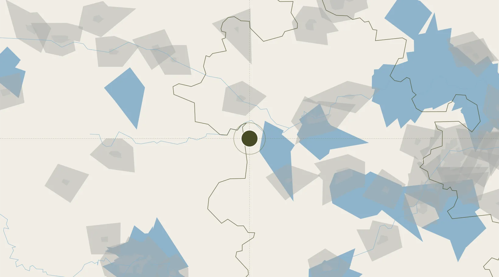
32.3542°, 115.9613°
1,112 ha
Zone area
253.2 km
Nearest port
62.4 km
Nearest airport

Gateway access

Nearest neighbours — logibook spatial index (haversine) over the source coordinates

Zone profile

Zone type
Diversified Zone
Open Zone Map
Region
Anhui
Open Zone Map
Status
Active
Open Zone Map
Management
Public
Open Zone Map
Operator
Working Committee of Huoqiu Economic Development Zone
Open Zone Map
Legal framework
Planning and Design Conditions of purchase and Storage Land in Huoqiu Economic Development Zone (Huozi No. [2020] 78)
Open Zone Map

Location

Location of ozm-707
Natural Earth 10m (public domain) · Anhui · ozm-707 · 32.35, 115.96GoogleOSMYandex

Nearby Logistics Neighbours

Ports
  1. 1Hankow253 km
  2. 2Nanjing264 km
  3. 3Yangzhou326 km
  4. 4Zhenjiang327 km
  5. 5Gaogang366 km
Nearest neighbours — logibook spatial index (haversine) over the source coordinates
Airports
  1. 1Fuyang Xiguan Airport62 km
  2. 2Hefei Xinqiao International Airport104 km
  3. 3Bengbu Tenghu Airport137 km
  4. 4Bengbu Tenghu Airport139 km
  5. 5Feidong Air Base167 km
Nearest neighbours — logibook spatial index (haversine) over the source coordinates
Cities
  1. 1Zhaogang67 km
  2. 2Lu'an85 km
  3. 3Mengcheng115 km
  4. 4Hefei136 km
  5. 5Bengbu146 km
Nearest neighbours — logibook spatial index (haversine) over the source coordinates
Trade Zones
  1. 1Gushi County Industrial Cluster34 km
  2. 2Funan Economic Development Zone45 km
  3. 3Fuyang Industrial Park52 km
  4. 4Yingquan Economic Development Zone54 km
  5. 5Anhui Yeji Economic Development Zone57 km
Nearest neighbours — logibook spatial index (haversine) over the source coordinates
DatabookThe Record of Consolidated Knowledge
China beyond logistics?
Browse databook

All Sources

Trade ZonesOpen Zone Map
CC BY
Portsthe NGA World Port Index
Public domain (US gov)
AirportsOurAirports
Public domain
LocationsUN/LOCODE
UN/LOCODE — free
← China trade zones