Diversified Zone · China

Caijiapo Economic and Technological Development Zone Active
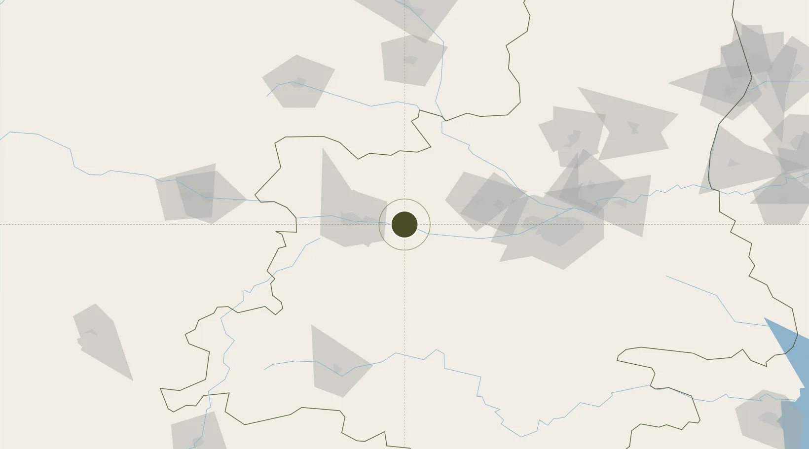
34.3262°, 107.6135°
302 ha
Zone area
751.3 km
Nearest port
26.3 km
Nearest airport

Gateway access

Nearest neighbours — logibook spatial index (haversine) over the source coordinates

Zone profile

Zone type
Diversified Zone
Open Zone Map
Region
Shaanxi
Open Zone Map
Status
Active
Open Zone Map
Management
Public
Open Zone Map
Operator
Management Committee of Caijiapo Economic and Technological Development Zone
Open Zone Map
Legal framework
It was established in March 1995
Open Zone Map

Location

Location of ozm-424
Natural Earth 10m (public domain) · Shaanxi · ozm-424 · 34.33, 107.61GoogleOSMYandex

Nearby Logistics Neighbours

Ports
  1. 1Hankow751 km
  2. 2Tianjin Xin Gang1047 km
  3. 3Nanjing1065 km
  4. 4Lanshan1077 km
  5. 5Lianyungang1085 km
Nearest neighbours — logibook spatial index (haversine) over the source coordinates
Airports
  1. 1Baoji Air Base26 km
  2. 2Wugong Air Base60 km
  3. 3Xi'an Air Base93 km
  4. 4Xi'an Xianyang International Airport105 km
  5. 5Hanzhong Chenggu Airport138 km
Nearest neighbours — logibook spatial index (haversine) over the source coordinates
Cities
  1. 1Baoji43 km
  2. 2Xingping80 km
  3. 3Xian123 km
  4. 4Weinan174 km
  5. 5Tianshui176 km
Nearest neighbours — logibook spatial index (haversine) over the source coordinates
Trade Zones
  1. 1Baoji High-Tech Industrial Development Zone35 km
  2. 2Qianxian Textile Industrial Park65 km
  3. 3Liquan County Industrial Park90 km
  4. 4Circular Economy Industrial Park Bin County93 km
  5. 5Jingyang County Industrial Dense Zone116 km
Nearest neighbours — logibook spatial index (haversine) over the source coordinates
DatabookThe Record of Consolidated Knowledge
China beyond logistics?
Browse databook

All Sources

Trade ZonesOpen Zone Map
CC BY
Portsthe NGA World Port Index
Public domain (US gov)
AirportsOurAirports
Public domain
LocationsUN/LOCODE
UN/LOCODE — free
← China trade zones