Transport Functions
Rail
Hub Profile
Region
69
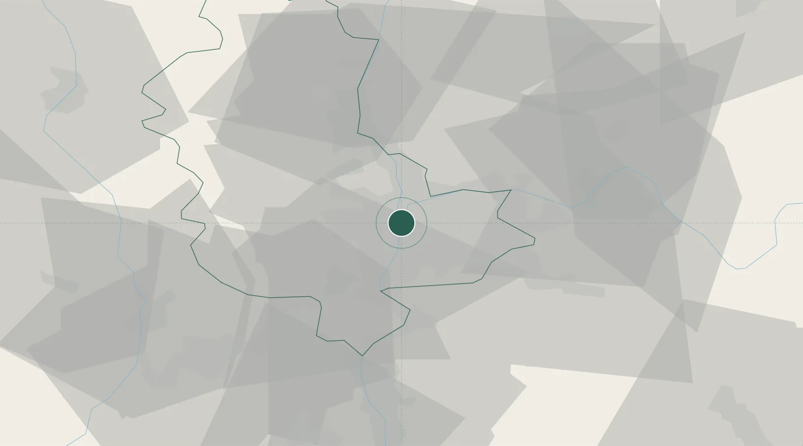
Location
Nearby Logistics Neighbours
Cities
- 1Oullins5 km
- 2Lyon5 km
- 3Tassin-la-Demi-Lune6 km
- 4Saint-Cyr-au-Mont-d'Or6 km
- 5Saint-Priest8 km
Ports
- 1Fos260 km
- 2Port-de-Bouc262 km
- 3Port Saint Louis Du Rhone263 km
- 4Marseille274 km
- 5Sete277 km
Airports
Trade Zones
- 1ZFU Lyon 9e4 km
- 2ZFU Vénissieux6 km
- 3ZFU Vaulx-en-Velin7 km
- 4ZFU Rillieux-la-Pape9 km
- 5ZFU Saint-Etienne56 km
DatabookThe Record of Consolidated Knowledge
France beyond logistics?