Transport Functions
Road
Multimodal
Hub Profile
Place type
Populated place
Region
Rhône-Alpes
Population
9,282
Time zone
Europe/Paris
Elevation
187 m
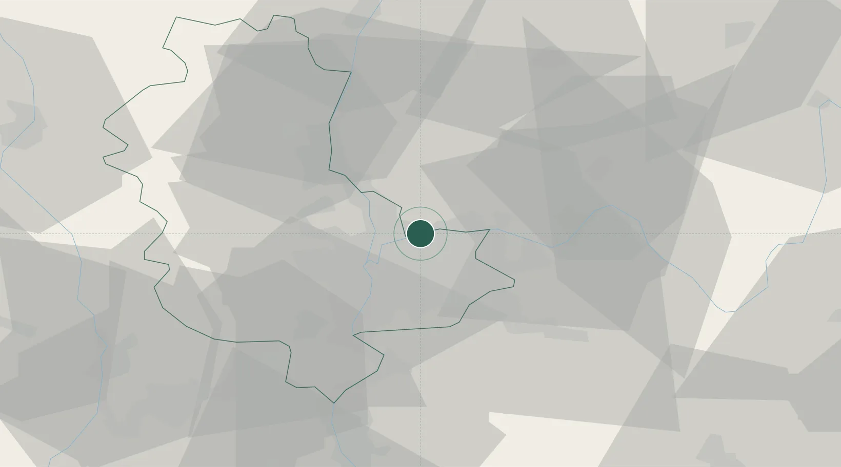
Location
Nearby Logistics Neighbours
Cities
- 1Saint-Maurice-de-Beynost2 km
- 2Vénissieux8 km
- 3Saint-Romain-au-Mont-d'Or9 km
- 4Mionnay9 km
- 5Neuville-sur-Saône10 km
Ports
- 1Fos267 km
- 2Port-de-Bouc269 km
- 3Port Saint Louis Du Rhone271 km
- 4Marseille280 km
- 5Sete286 km
Airports
- 1Lyon Bron Airport10 km
- 2Lyon Saint-Exupéry Airport15 km
- 3Ambérieu Air Base (BA 278)35 km
- 4Mâcon-Charnay Airfield55 km
- 5Grenoble Alpes Isère Airport59 km
Trade Zones
- 1ZFU Vaulx-en-Velin5 km
- 2ZFU Rillieux-la-Pape7 km
- 3ZFU Lyon 9e12 km
- 4ZFU Vénissieux15 km
- 5ZFU Saint-Etienne67 km
DatabookThe Record of Consolidated Knowledge
France beyond logistics?