Export Processing Zone · China

Wuhua Economic Development Zone Active
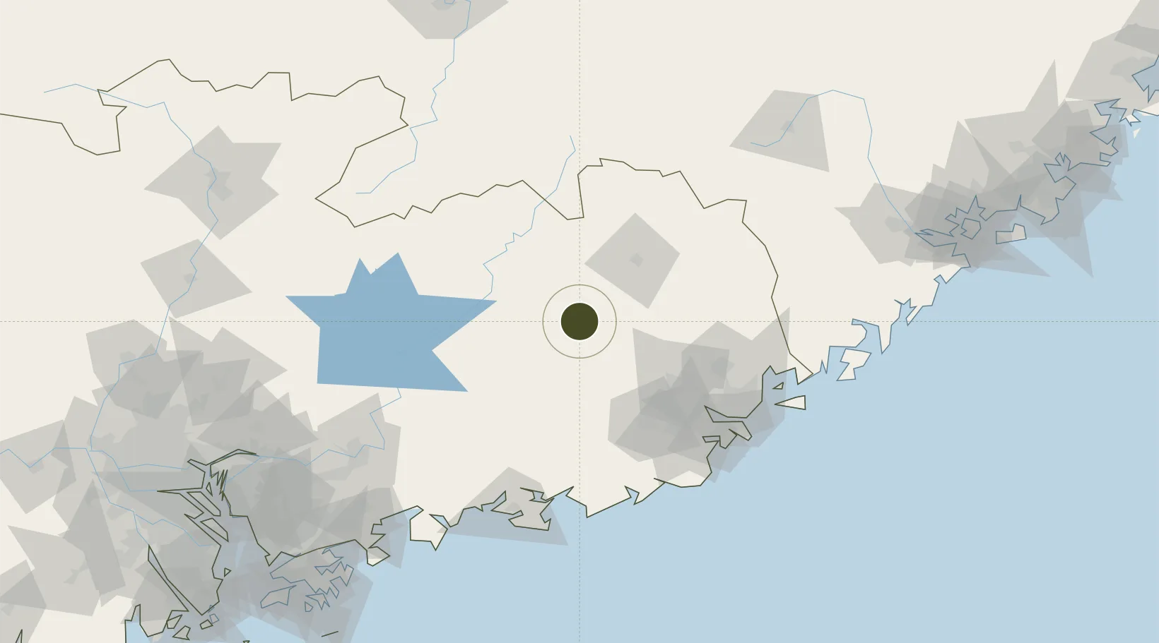
23.9317°, 115.7654°
500 ha
Zone area
138.6 km
Nearest port
50.0 km
Nearest airport

Gateway access

Nearest neighbours — logibook spatial index (haversine) over the source coordinates

Zone profile

Zone type
Export Processing Zone
Open Zone Map
Region
Guangdong
Open Zone Map
Status
Active
Open Zone Map
Management
Public
Open Zone Map
Operator
Working Committee of Wuhua Economic Development Zone
Open Zone Map
Legal framework
Expansion Plan of Guangdong Wuhua Economic Development Zone, Overall Plan of Wuhua County (2012~2030)
Open Zone Map

Location

Location of ozm-1166
Natural Earth 10m (public domain) · Guangdong · ozm-1166 · 23.93, 115.77GoogleOSMYandex

Nearby Logistics Neighbours

Ports
  1. 1Chaozhou139 km
  2. 2Dongshan178 km
  3. 3Huizhou186 km
  4. 4Yantian214 km
  5. 5Xiamen240 km
Nearest neighbours — logibook spatial index (haversine) over the source coordinates
Airports
  1. 1Meizhou Meixian Changgangji International Airport50 km
  2. 2Jieyang Chaoshan International Airport86 km
  3. 3Huizhou Pingtan Airport154 km
  4. 4Xincheng Air Base214 km
  5. 5Liancheng Guanzhishan Airport218 km
Nearest neighbours — logibook spatial index (haversine) over the source coordinates
Cities
  1. 1Changsha49 km
  2. 2Quxi78 km
  3. 3Puning81 km
  4. 4Xiluzhen97 km
  5. 5Donglian Port108 km
Nearest neighbours — logibook spatial index (haversine) over the source coordinates
DatabookThe Record of Consolidated Knowledge
China beyond logistics?
Browse databook

All Sources

Trade ZonesOpen Zone Map
CC BY
Portsthe NGA World Port Index
Public domain (US gov)
AirportsOurAirports
Public domain
LocationsUN/LOCODE
UN/LOCODE — free
← China trade zones