Export Processing Zone · China

Hengfeng Economic Development Zone Active
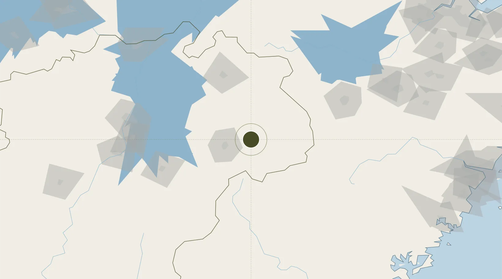
28.4085°, 117.5975°
400 ha
Zone area
302.2 km
Nearest port
36.0 km
Nearest airport

Gateway access

Nearest neighbours — logibook spatial index (haversine) over the source coordinates

Zone profile

Zone type
Export Processing Zone
Open Zone Map
Region
Jiangxi
Open Zone Map
Status
Active
Open Zone Map
Management
Public
Open Zone Map
Operator
Working Committee of Hengfeng Economic Development Zone
Open Zone Map
Legal framework
Hengfeng Finance 2020 development plan
Open Zone Map

Location

Location of ozm-1124
Natural Earth 10m (public domain) · Jiangxi · ozm-1124 · 28.41, 117.60GoogleOSMYandex

Nearby Logistics Neighbours

Ports
  1. 1Wenzhou302 km
  2. 2Fuzhou309 km
  3. 3Haimen378 km
  4. 4Xiuyu379 km
  5. 5Hankow402 km
Nearest neighbours — logibook spatial index (haversine) over the source coordinates
Airports
  1. 1Shangrao Sanqingshan Airport36 km
  2. 2Nanping Wuyishan Airport88 km
  3. 3Jingdezhen Luojia Airport111 km
  4. 4Quzhou Airport141 km
  5. 5Huangshan Tunxi International Airport161 km
Nearest neighbours — logibook spatial index (haversine) over the source coordinates
Cities
  1. 1Yingtan55 km
  2. 2Jingdezhen104 km
  3. 3Fuzhou127 km
  4. 4Quzhou153 km
  5. 5Nanping172 km
Nearest neighbours — logibook spatial index (haversine) over the source coordinates
Trade Zones
  1. 1Guixi Economic Development Zone45 km
  2. 2Dexing Economic Development Zone61 km
  3. 3Wannian High-tech Industrial Park62 km
  4. 4Yushan Economic Development Zone69 km
  5. 5Yujiang Industrial Park80 km
Nearest neighbours — logibook spatial index (haversine) over the source coordinates
DatabookThe Record of Consolidated Knowledge
China beyond logistics?
Browse databook

All Sources

Trade ZonesOpen Zone Map
CC BY
Portsthe NGA World Port Index
Public domain (US gov)
AirportsOurAirports
Public domain
LocationsUN/LOCODE
UN/LOCODE — free
← China trade zones