Export Processing Zone · China

Nanxian Economic Development Zone Active
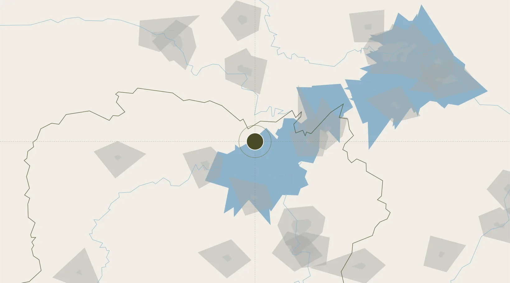
29.3648°, 112.3772°
118 ha
Zone area
228.2 km
Nearest port
87.1 km
Nearest airport

Gateway access

Nearest neighbours — logibook spatial index (haversine) over the source coordinates

Zone profile

Zone type
Export Processing Zone
Open Zone Map
Region
Hunan
Open Zone Map
Status
Active
Open Zone Map
Management
Public
Open Zone Map
Operator
Working Committee of Nanxian Economic Development Zone
Open Zone Map
Legal framework
Nanxian Economic development zone development thirteenth five-year plan
Open Zone Map

Location

Location of ozm-1041
Natural Earth 10m (public domain) · Hunan · ozm-1041 · 29.36, 112.38GoogleOSMYandex

Nearby Logistics Neighbours

Ports
  1. 1Hankow228 km
  2. 2Nanjing680 km
  3. 3Guangzhou700 km
  4. 4Huangpu706 km
  5. 5Huangpuxingang711 km
Nearest neighbours — logibook spatial index (haversine) over the source coordinates
Airports
  1. 1Changde Taohuayuan Airport87 km
  2. 2Yueyang Sanhe Airport88 km
  3. 3Jingzhou Shashi Airport103 km
  4. 4Changsha Huanghua International Airport154 km
  5. 5Ningxiang Airport155 km
Nearest neighbours — logibook spatial index (haversine) over the source coordinates
Cities
  1. 1Chenglingji Pt75 km
  2. 2Yueyang76 km
  3. 3Changde78 km
  4. 4Jingzhou Pt105 km
  5. 5Changsha142 km
Nearest neighbours — logibook spatial index (haversine) over the source coordinates
Trade Zones
  1. 1Anxiang Industrial Concentration Zone23 km
  2. 2Huarong Industrial Concentration Zone25 km
  3. 3Junshan Industrial Concentration Zone25 km
  4. 4Yuanjiang High-tech Industrial Park61 km
  5. 5Economic Development Zone of Li County70 km
Nearest neighbours — logibook spatial index (haversine) over the source coordinates
DatabookThe Record of Consolidated Knowledge
China beyond logistics?
Browse databook

All Sources

Trade ZonesOpen Zone Map
CC BY
Portsthe NGA World Port Index
Public domain (US gov)
AirportsOurAirports
Public domain
LocationsUN/LOCODE
UN/LOCODE — free
← China trade zones