Export Processing Zone · China

Hongqiao National Economic and Technological Development Zone Active
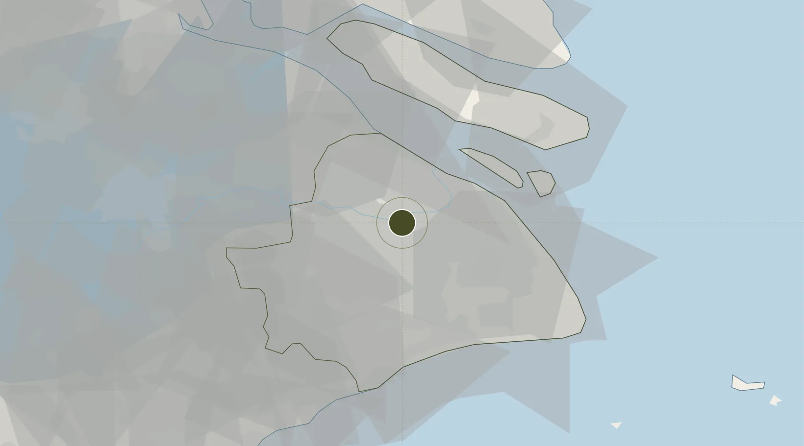
31.2133°, 121.4083°
65 ha
Zone area
8.7 km
Nearest port
7.2 km
Nearest airport

Gateway access

Nearest neighbours — logibook spatial index (haversine) over the source coordinates

Zone profile

Zone type
Export Processing Zone
Open Zone Map
Region
Shanghai
Open Zone Map
Status
Active
Open Zone Map
Management
Public
Open Zone Map
Operator
Management Committee of Hongqiao National Economic and Technological Development Zone
Open Zone Map
Legal framework
Construction began in 1983
Open Zone Map

Location

Location of ozm-1033
Natural Earth 10m (public domain) · Shanghai · ozm-1033 · 31.21, 121.41GoogleOSMYandex

Nearby Logistics Neighbours

Ports
  1. 1Shanghai9 km
  2. 2Taicang52 km
  3. 3Changshu75 km
  4. 4Zhapu77 km
  5. 5Nantong105 km
Nearest neighbours — logibook spatial index (haversine) over the source coordinates
Airports
  1. 1Shanghai Hongqiao International Airport7 km
  2. 2Shanghai Dachang Air Base12 km
  3. 3Shanghai Pudong International Airport39 km
  4. 4Chenghu General Airport59 km
  5. 5Jiaxing Nanhu Airport91 km
Nearest neighbours — logibook spatial index (haversine) over the source coordinates
Cities
  1. 1Pudong/Shanghai9 km
  2. 2Jinqiao19 km
  3. 3Baoshan Pt24 km
  4. 4Jiading25 km
  5. 5Anting26 km
Nearest neighbours — logibook spatial index (haversine) over the source coordinates
DatabookThe Record of Consolidated Knowledge
China beyond logistics?
Browse databook

All Sources

Trade ZonesOpen Zone Map
CC BY
Portsthe NGA World Port Index
Public domain (US gov)
AirportsOurAirports
Public domain
LocationsUN/LOCODE
UN/LOCODE — free
← China trade zones