Diversified Zone · China

Wuzhong Economic and Technological Development Zone Active
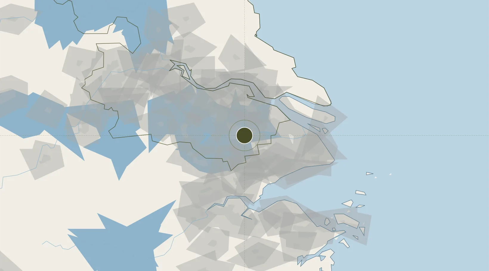
31.2696°, 120.6830°
12,391 ha
Zone area
60.8 km
Nearest port
11.8 km
Nearest airport

Gateway access

Nearest neighbours — logibook spatial index (haversine) over the source coordinates

Zone profile

Zone type
Diversified Zone
Open Zone Map
Region
Jiangsu
Open Zone Map
Status
Active
Open Zone Map
Management
Public
Open Zone Map
Operator
Management Committee of Wuzhong Economic and Technological Development Zone
Open Zone Map
Legal framework
It was approved by the people's government of jiangsu province in November 1993
Open Zone Map

Location

Location of ozm-1010
Natural Earth 10m (public domain) · Jiangsu · ozm-1010 · 31.27, 120.68GoogleOSMYandex

Nearby Logistics Neighbours

Ports
  1. 1Changshu61 km
  2. 2Taicang65 km
  3. 3Shanghai78 km
  4. 4Nantong82 km
  5. 5Zhangjiangang82 km
Nearest neighbours — logibook spatial index (haversine) over the source coordinates
Airports
  1. 1Chenghu General Airport12 km
  2. 2Suzhou Guangfu Airport27 km
  3. 3Sunan Shuofang International Airport35 km
  4. 4Shanghai Hongqiao International Airport62 km
  5. 5Jiaxing Nanhu Airport64 km
Nearest neighbours — logibook spatial index (haversine) over the source coordinates
Cities
  1. 1Suzhou3 km
  2. 2Kunshan29 km
  3. 3Zouxiang44 km
  4. 4Anting45 km
  5. 5Changshu Pt53 km
Nearest neighbours — logibook spatial index (haversine) over the source coordinates
DatabookThe Record of Consolidated Knowledge
China beyond logistics?
Browse databook

All Sources

Trade ZonesOpen Zone Map
CC BY
Portsthe NGA World Port Index
Public domain (US gov)
AirportsOurAirports
Public domain
LocationsUN/LOCODE
UN/LOCODE — free
← China trade zones