Seaport · Italy

Termini ImereseITTRI
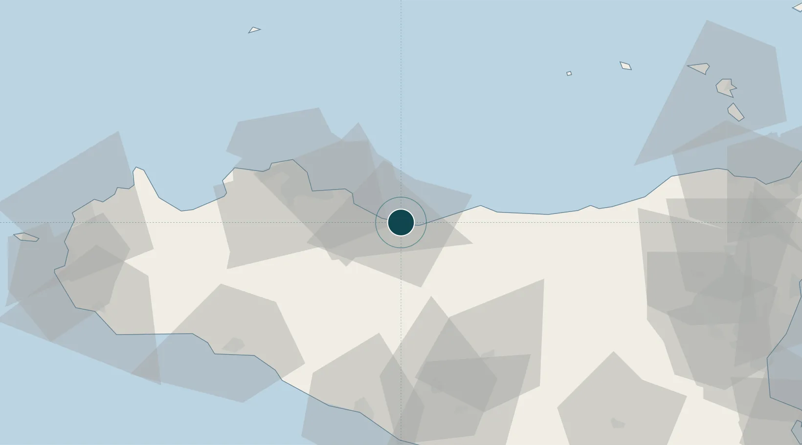
37.9850°, 13.7230°
6.4 m
Channel depth
10.3
Port liner connectivity
Termini Imerese is also a UN/LOCODE logistics hub →

Channel & Berth Profile

SEA LEVEL (CD)CHANNEL BEDChannel · 6.4 mCargo pier · 7.9 mOil terminal · 12.5 mAnchorage · 14.0 m
NGA World Port Index

Pilotage, Tugs & Services

Pilotage availableYES
Pilotage advisableYES
Local assistanceYES
Shore powerNO
Potable waterYES
Diesel bunkersYES
MedicalYES
Garbage disposalNO
NGA World Port Index

Facilities & Capabilities

Container
Ro-Ro
Liquid bulk
Dry bulk
Oil terminal
Break bulk
Dry dock
RepairsNO
BunkeringNO
Rail linkYES
Dangerous cargo
ISPS security
NGA World Port Index

Harbour Specifications

Harbour size
Very Small
NGA World Port Index
Harbour type
Coastal (Breakwater)
NGA World Port Index
Shelter
Fair
NGA World Port Index
Water body
Tyrrhenian Sea; Mediterranean Sea; North Atlantic Ocean
NGA World Port Index

Liner Connectivity

10.3
PLSCI

Port Liner Shipping Connectivity Index for Termini Imerese, as published by UNCTAD for the latest available quarter. Higher values indicate stronger scheduled liner-shipping integration.

Shown relative to the highest per-port PLSCI in the dataset (1,657.9).

UNCTAD · Port Liner Shipping Connectivity Index

Location

Location of ITTRI
Natural Earth 10m (public domain) · Palermo · ITTRI · 37.98, 13.72GoogleOSMYandex

Nearby Logistics Neighbours

Ports
  1. 1Porto Di Palermo34 km
  2. 2Castellammare Del Golfo74 km
  3. 3Sciacca78 km
  4. 4Porto Empedocle81 km
  5. 5San Vito Lo Capo89 km
Nearest neighbours — logibook spatial index (haversine) over the source coordinates
Cities
  1. 1Casteldaccia18 km
  2. 2Porticello20 km
  3. 3Bagheria22 km
  4. 4Misilmeri25 km
  5. 5Cefalù26 km
Nearest neighbours — logibook spatial index (haversine) over the source coordinates
Airports
  1. 1Palermo-Boccadifalco Airport39 km
  2. 2Falcone–Borsellino Airport59 km
  3. 3Vincenzo Florio Airport Trapani-Birgi109 km
  4. 4Sigonella Navy Air Base124 km
  5. 5Catania-Fontanarossa Airport132 km
Nearest neighbours — logibook spatial index (haversine) over the source coordinates
Trade Zones
  1. 1Sicily Special Economic Zone Area68 km
  2. 2Malta Freeport252 km
  3. 3Calabria Special Economic Zone263 km
  4. 4Campania Special Economic Zone (Naples and Salerno)307 km
  5. 5Basilicata Special Economic Zone322 km
Nearest neighbours — logibook spatial index (haversine) over the source coordinates
DatabookThe Record of Consolidated Knowledge
Italy beyond logistics?
Browse databook

All Sources

Portsthe NGA World Port Index
Public domain (US gov)
Logistics performanceUNCTAD
CC BY 3.0 IGO
AirportsOurAirports
Public domain
LocationsUN/LOCODE
UN/LOCODE — free
Trade Zonesthe World Bank SEZ database
CC BY 4.0
Trade ZonesOpen Zone Map
CC BY
← Italy ports