Seaport · Italy

Porto Di PalermoITPMO
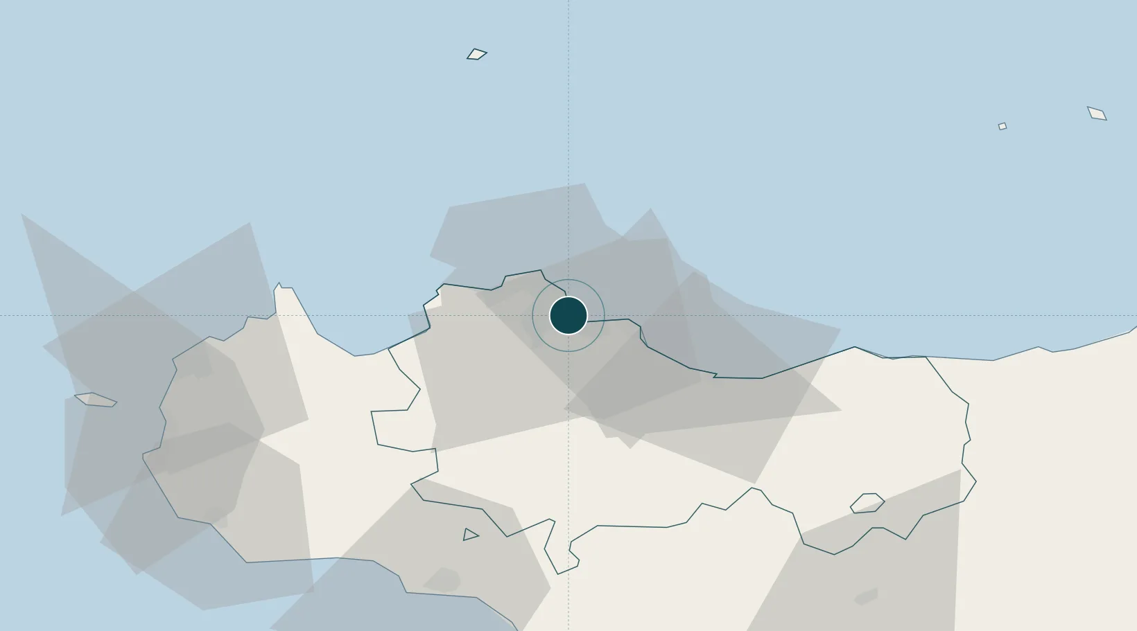
38.1190°, 13.3800°
23.2 m
Channel depth
1
Container terminals
21.5
Port liner connectivity
Porto Di Palermo is also a UN/LOCODE logistics hub →

Channel & Berth Profile

SEA LEVEL (CD)CHANNEL BEDCargo pier · 14.0 mOil terminal · 14.0 mAnchorage · 17.1 mChannel · 23.2 m
NGA World Port Index

Pilotage, Tugs & Services

Pilotage compulsoryYES
Pilotage availableYES
Pilotage advisableYES
Tug assistanceYES
Salvage tugsNO
Shore powerYES
Potable waterYES
Diesel bunkersYES
MedicalYES
Garbage disposalYES
NGA World Port Index

Facilities & Capabilities

Container
Ro-Ro
Liquid bulk
Dry bulk
Oil terminal
Break bulk
Dry dockNO
RepairsNO
BunkeringYES
Rail linkYES
Dangerous cargo
ISPS security
NGA World Port Index

Harbour Specifications

Harbour size
Small
NGA World Port Index
Harbour type
Coastal (Breakwater)
NGA World Port Index
Shelter
Excellent
NGA World Port Index
Water body
Tyrrhenian Sea; Mediterranean Sea; North Atlantic Ocean
NGA World Port Index
Tidal range
1 m
NGA World Port Index
Overhead limit
No
NGA World Port Index
Pilotage
Yes
NGA World Port Index

Liner Connectivity

21.5
PLSCI

Port Liner Shipping Connectivity Index for Porto Di Palermo, as published by UNCTAD for the latest available quarter. Higher values indicate stronger scheduled liner-shipping integration.

Shown relative to the highest per-port PLSCI in the dataset (1,657.9).

UNCTAD · Port Liner Shipping Connectivity Index

Location

Location of ITPMO
Natural Earth 10m (public domain) · Palermo · ITPMO · 38.12, 13.38GoogleOSMYandex

Container Terminals · 1

PORTITALIA TERMINAL PALERMO
POIT PORTITALIA S.R.L.
SMDG Terminal Code List

Nearby Logistics Neighbours

Ports
  1. 1Termini Imerese34 km
  2. 2Castellammare Del Golfo44 km
  3. 3San Vito Lo Capo57 km
  4. 4Sciacca74 km
  5. 5Trapani77 km
Nearest neighbours — logibook spatial index (haversine) over the source coordinates
Cities
  1. 1Villabate8 km
  2. 2Mondello, Palermo10 km
  3. 3Bagheria11 km
  4. 4Misilmeri11 km
  5. 5Capaci14 km
Nearest neighbours — logibook spatial index (haversine) over the source coordinates
Airports
  1. 1Palermo-Boccadifalco Airport6 km
  2. 2Falcone–Borsellino Airport26 km
  3. 3Vincenzo Florio Airport Trapani-Birgi82 km
  4. 4Sigonella Navy Air Base157 km
  5. 5Catania-Fontanarossa Airport165 km
Nearest neighbours — logibook spatial index (haversine) over the source coordinates
Trade Zones
  1. 1Sicily Special Economic Zone Area100 km
  2. 2Malta Freeport276 km
  3. 3Calabria Special Economic Zone281 km
  4. 4Campania Special Economic Zone (Naples and Salerno)293 km
  5. 5Bizerte Park of Economic Activities324 km
Nearest neighbours — logibook spatial index (haversine) over the source coordinates
DatabookThe Record of Consolidated Knowledge
Italy beyond logistics?
Browse databook

All Sources

Portsthe NGA World Port Index
Public domain (US gov)
Logistics performanceUNCTAD
CC BY 3.0 IGO
Portsthe SMDG Terminal Code List
UN/LOCODE — free, attribution
AirportsOurAirports
Public domain
LocationsUN/LOCODE
UN/LOCODE — free
Trade Zonesthe World Bank SEZ database
CC BY 4.0
Trade ZonesOpen Zone Map
CC BY
← Italy ports