Transport Functions
Port
Rail
Road
Hub Profile
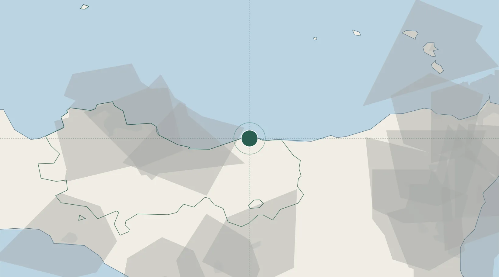
Place type
District seat
Region
Sicily
Population
11,613
Time zone
Europe/Rome
Elevation
16 m
Location
Nearby Logistics Neighbours
Cities
- 1Termini Imerese28 km
- 2Santo Stefano di Camastra29 km
- 3Alimena38 km
- 4Casteldaccia42 km
- 5Porticello43 km
Ports
- 1Termini Imerese26 km
- 2Porto Di Palermo57 km
- 3Porto Empedocle94 km
- 4Lipari97 km
- 5Castellammare Del Golfo99 km
Airports
- 1Palermo-Boccadifalco Airport62 km
- 2Falcone–Borsellino Airport83 km
- 3Sigonella Navy Air Base106 km
- 4Catania-Fontanarossa Airport112 km
- 5Comiso Airport127 km
Trade Zones
DatabookThe Record of Consolidated Knowledge
Italy beyond logistics?