Transport Functions
Port
Road
Hub Profile
Place type
Populated place
Region
Sicily
Time zone
Europe/Rome
Elevation
34 m
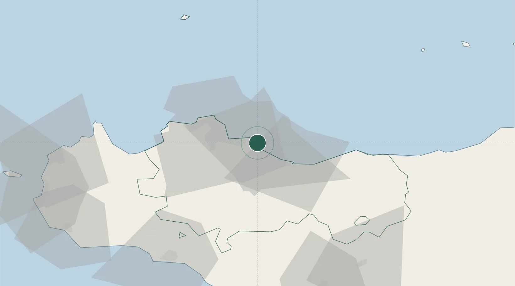
Location
Nearby Logistics Neighbours
Cities
- 1Bagheria3 km
- 2Casteldaccia4 km
- 3Villabate9 km
- 4Misilmeri9 km
- 5Palermo16 km
Ports
- 1Porto Di Palermo14 km
- 2Termini Imerese20 km
- 3Castellammare Del Golfo57 km
- 4San Vito Lo Capo71 km
- 5Sciacca76 km
Airports
Trade Zones
DatabookThe Record of Consolidated Knowledge
Italy beyond logistics?