Transport Functions
Port
Hub Profile
Place type
District seat
Region
Sicily
Population
22,957
Time zone
Europe/Rome
Elevation
77 m
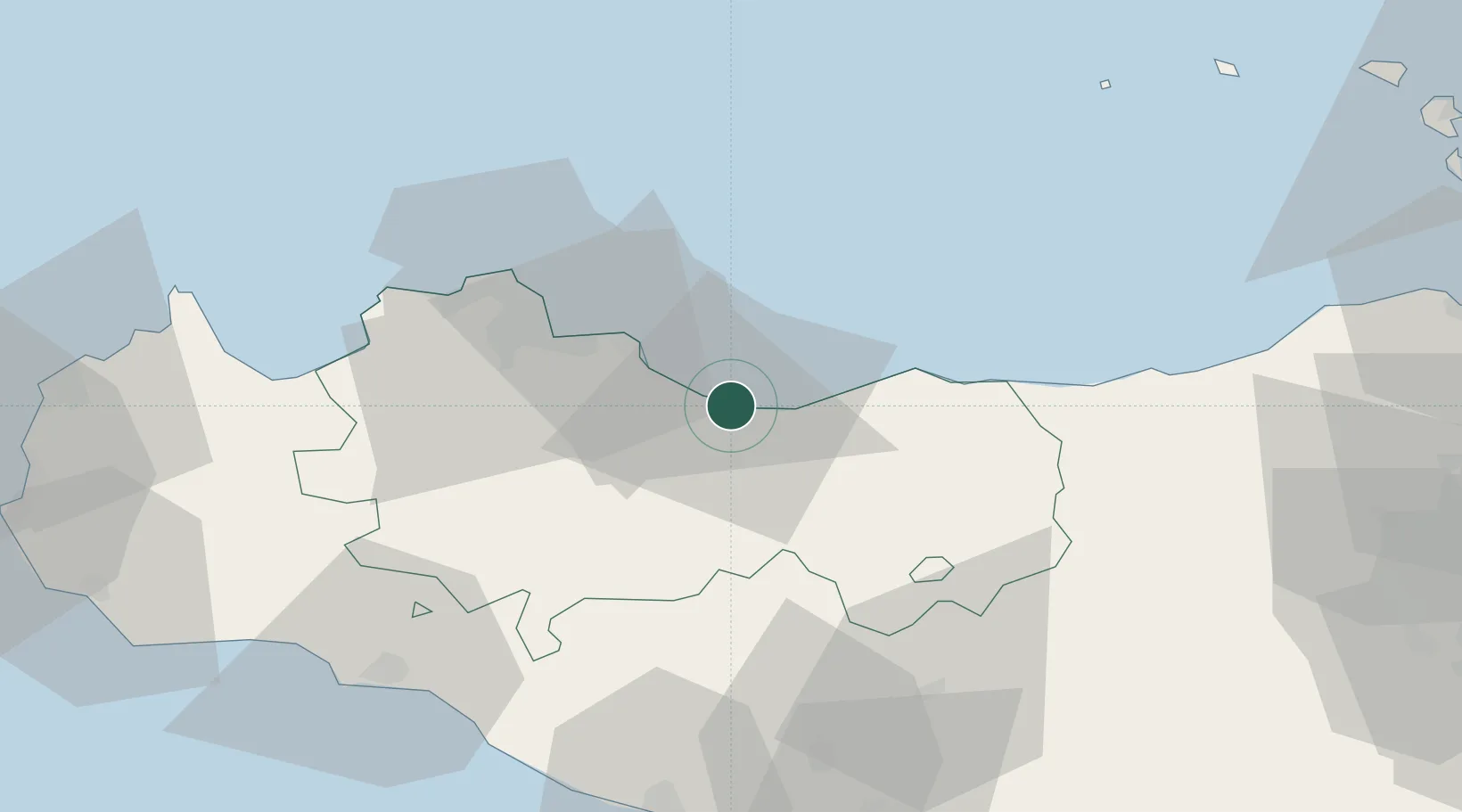
Location
Nearby Logistics Neighbours
Cities
- 1Casteldaccia16 km
- 2Porticello18 km
- 3Bagheria21 km
- 4Misilmeri23 km
- 5Villabate25 km
Ports
- 1Porto Di Palermo32 km
- 2Castellammare Del Golfo72 km
- 3Sciacca77 km
- 4Porto Empedocle80 km
- 5San Vito Lo Capo87 km
Airports
Trade Zones
DatabookThe Record of Consolidated Knowledge
Italy beyond logistics?