Seaport · Italy

San Vito Lo CapoITSVC

38.1810°, 12.7360°

Channel & Berth Profile

NGA World Port Index

Facilities & Capabilities

Container
Ro-Ro
Liquid bulk
Dry bulk
Oil terminal
Break bulk
Dry dock
Repairs
Bunkering
Rail link
Dangerous cargo
ISPS security
NGA World Port Index

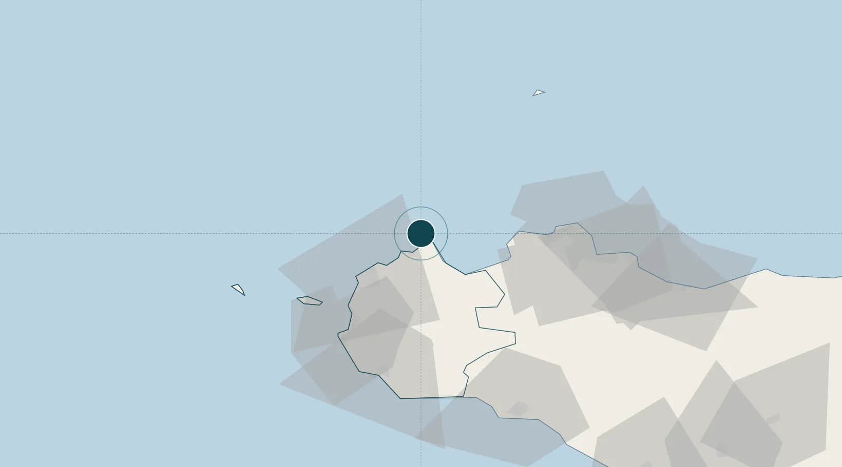
Harbour Specifications

Harbour size
Small
NGA World Port Index
Water body
Tyrrhenian Sea; Mediterranean Sea; North Atlantic Ocean
NGA World Port Index

Location

Location of ITSVC
Natural Earth 10m (public domain) · Trapani · ITSVC · 38.18, 12.74GoogleOSMYandex

Nearby Logistics Neighbours

Ports
  1. 1Castellammare Del Golfo21 km
  2. 2Trapani28 km
  3. 3Levanzo41 km
  4. 4Favignana45 km
  5. 5Marsala52 km
Nearest neighbours — logibook spatial index (haversine) over the source coordinates
Cities
  1. 1Custonaci14 km
  2. 2Buseto Palizzolo18 km
  3. 3Castellammare del Golfo22 km
  4. 4Paceco27 km
  5. 5Trappeto29 km
Nearest neighbours — logibook spatial index (haversine) over the source coordinates
Airports
  1. 1Falcone–Borsellino Airport31 km
  2. 2Vincenzo Florio Airport Trapani-Birgi37 km
  3. 3Palermo-Boccadifalco Airport51 km
  4. 4Pantelleria Airport166 km
  5. 5Sigonella Navy Air Base211 km
Nearest neighbours — logibook spatial index (haversine) over the source coordinates
Trade Zones
  1. 1Sicily Special Economic Zone Area152 km
  2. 2Bizerte Park of Economic Activities272 km
  3. 3Campania Special Economic Zone (Naples and Salerno)296 km
  4. 4Malta Freeport308 km
  5. 5Calabria Special Economic Zone328 km
Nearest neighbours — logibook spatial index (haversine) over the source coordinates
DatabookThe Record of Consolidated Knowledge
Italy beyond logistics?
Browse databook

All Sources

Portsthe NGA World Port Index
Public domain (US gov)
AirportsOurAirports
Public domain
LocationsUN/LOCODE
UN/LOCODE — free
Trade Zonesthe World Bank SEZ database
CC BY 4.0
Trade ZonesOpen Zone Map
CC BY
← Italy ports