Seaport · Italy

Castellammare Del GolfoITCTR

38.0320°, 12.8850°
Castellammare Del Golfo is also a UN/LOCODE logistics hub →

Channel & Berth Profile

NGA World Port Index

Facilities & Capabilities

Container
Ro-Ro
Liquid bulk
Dry bulk
Oil terminal
Break bulk
Dry dock
Repairs
Bunkering
Rail link
Dangerous cargo
ISPS security
NGA World Port Index

Harbour Specifications

Harbour size
Small
NGA World Port Index
Water body
Tyrrhenian Sea; Mediterranean Sea; North Atlantic Ocean
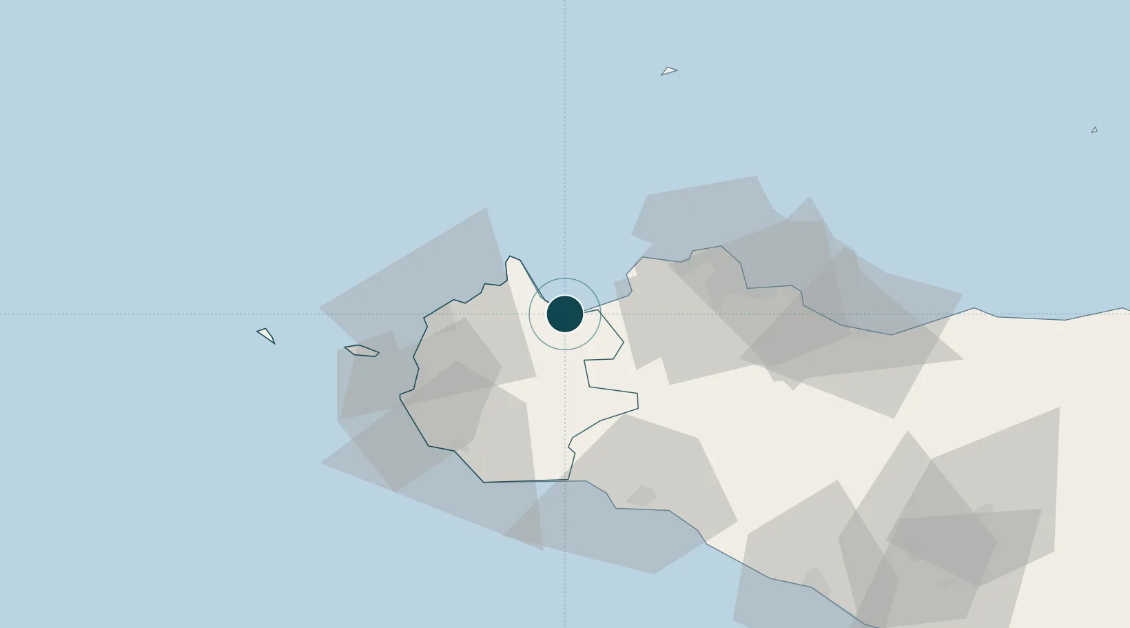
NGA World Port Index

Location

Location of ITCTR
Natural Earth 10m (public domain) · Trapani · ITCTR · 38.03, 12.88GoogleOSMYandex

Nearby Logistics Neighbours

Ports
  1. 1San Vito Lo Capo21 km
  2. 2Trapani33 km
  3. 3Porto Di Palermo44 km
  4. 4Levanzo48 km
  5. 5Marsala48 km
Nearest neighbours — logibook spatial index (haversine) over the source coordinates
Cities
  1. 1Trappeto14 km
  2. 2Buseto Palizzolo15 km
  3. 3Custonaci18 km
  4. 4Terrasini22 km
  5. 5Cinisi23 km
Nearest neighbours — logibook spatial index (haversine) over the source coordinates
Airports
  1. 1Falcone–Borsellino Airport24 km
  2. 2Vincenzo Florio Airport Trapani-Birgi37 km
  3. 3Palermo-Boccadifalco Airport39 km
  4. 4Pantelleria Airport158 km
  5. 5Comiso Airport191 km
Nearest neighbours — logibook spatial index (haversine) over the source coordinates
Trade Zones
  1. 1Sicily Special Economic Zone Area133 km
  2. 2Bizerte Park of Economic Activities279 km
  3. 3Malta Freeport287 km
  4. 4Campania Special Economic Zone (Naples and Salerno)309 km
  5. 5Calabria Special Economic Zone323 km
Nearest neighbours — logibook spatial index (haversine) over the source coordinates
DatabookThe Record of Consolidated Knowledge
Italy beyond logistics?
Browse databook

All Sources

Portsthe NGA World Port Index
Public domain (US gov)
AirportsOurAirports
Public domain
LocationsUN/LOCODE
UN/LOCODE — free
Trade Zonesthe World Bank SEZ database
CC BY 4.0
Trade ZonesOpen Zone Map
CC BY
← Italy ports