Transport Functions
Rail
Road
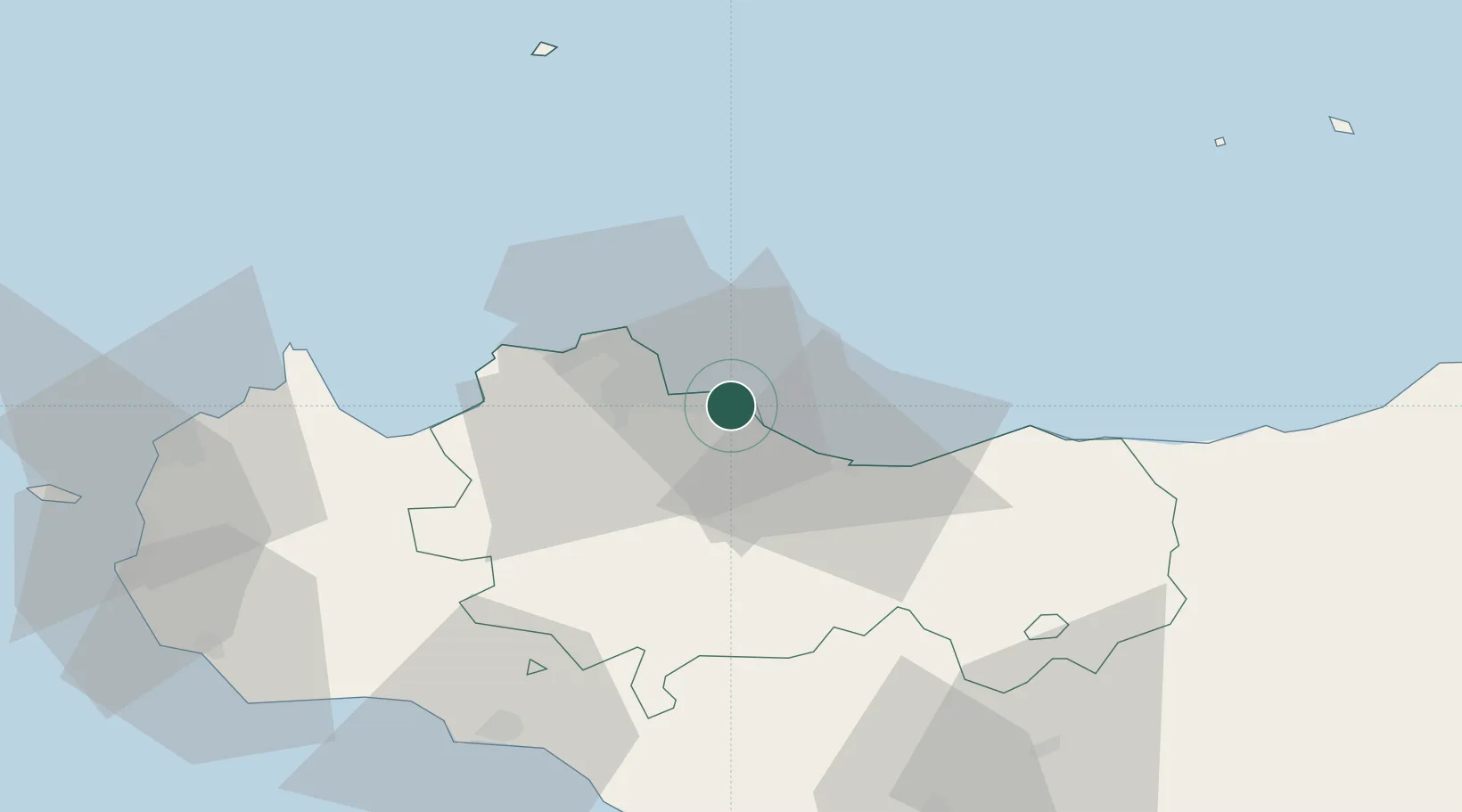
Hub Profile
Place type
District seat
Region
Sicily
Population
53,149
Time zone
Europe/Rome
Elevation
78 m
Location
Nearby Logistics Neighbours
Cities
- 1Porticello3 km
- 2Casteldaccia5 km
- 3Villabate6 km
- 4Misilmeri7 km
- 5Palermo13 km
Ports
- 1Porto Di Palermo11 km
- 2Termini Imerese22 km
- 3Castellammare Del Golfo54 km
- 4San Vito Lo Capo68 km
- 5Sciacca75 km
Airports
Trade Zones
DatabookThe Record of Consolidated Knowledge
Italy beyond logistics?